Services on this project
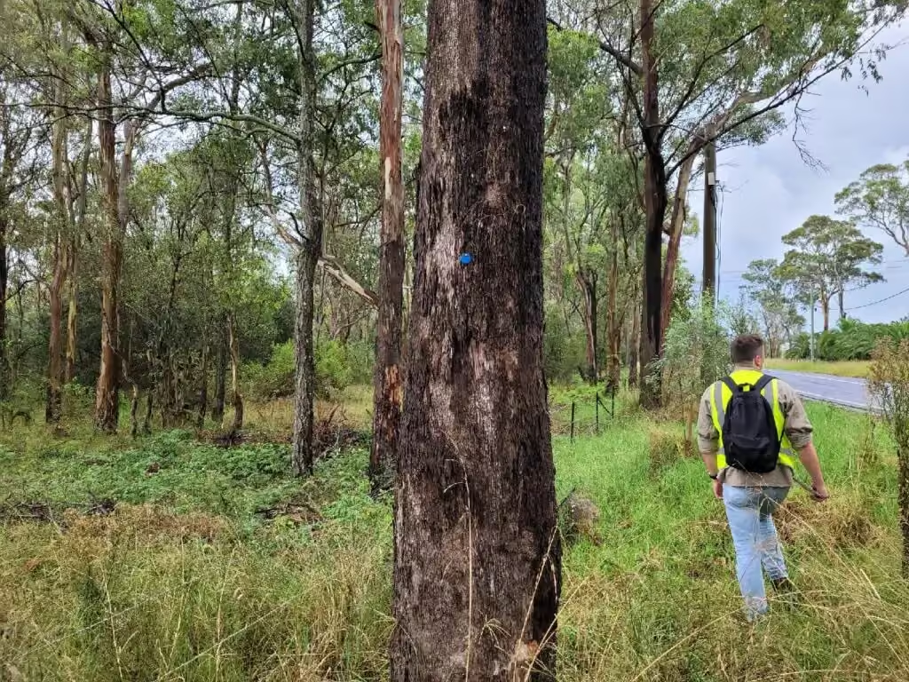
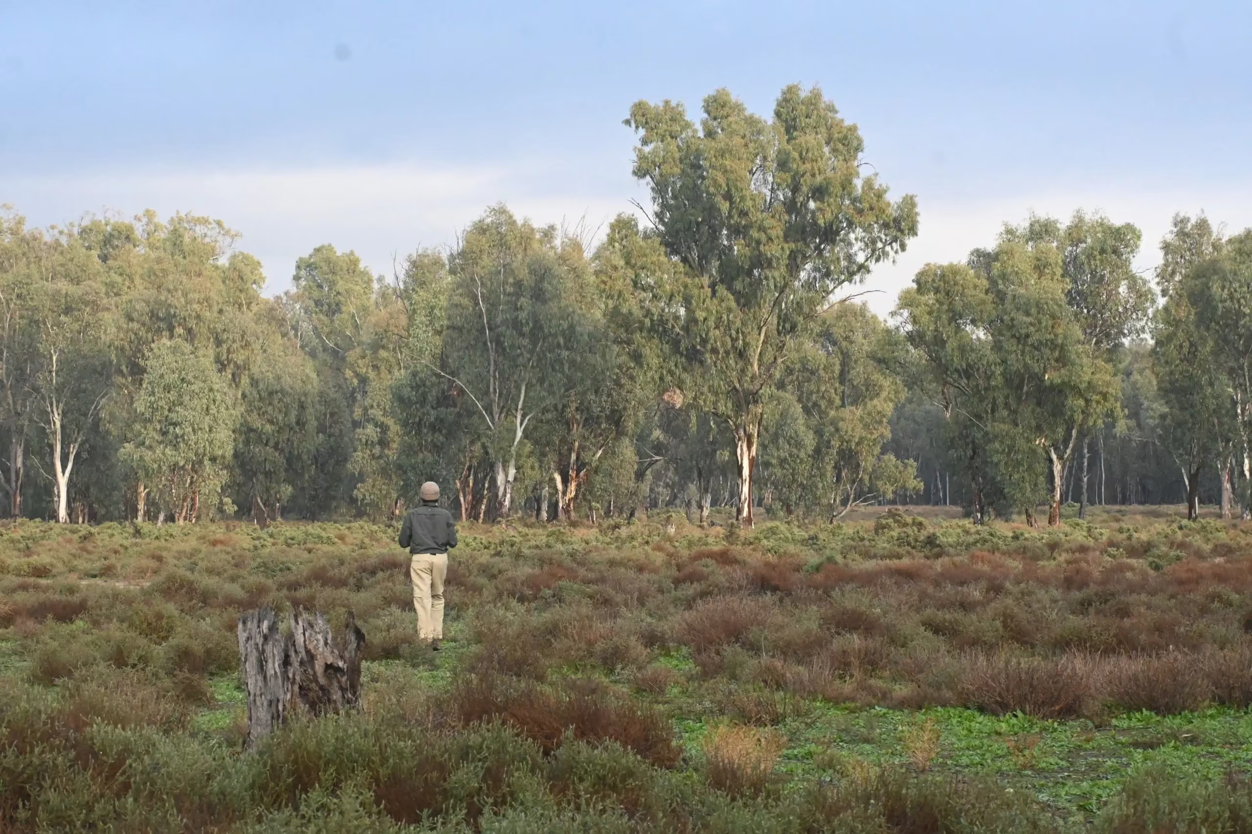
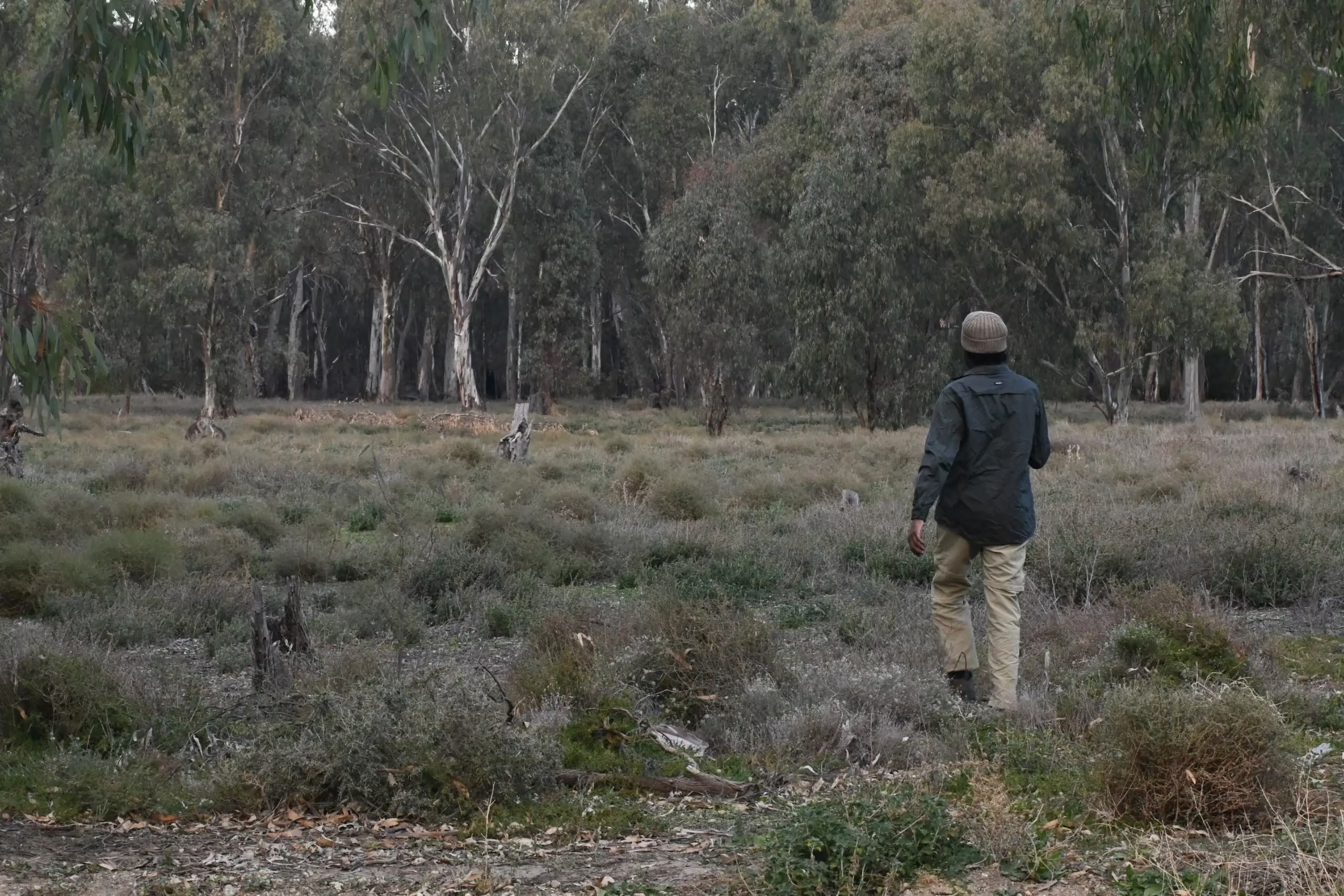
ESEA supported successful rezoning and subdivision planning for a large residential development at Grose Vale in the Hawkesbury, on land containing critically endangered Cumberland Plain Woodland and multiple mapped watercourses.
What was the constraint?
Cumberland Plain Woodland and mapped watercourses both limit how much of a site can be developed. Each mapped watercourse can carry a riparian corridor, which takes land out of the subdivision layout.
What ESEA did
ESEA prepared the Biodiversity Development Assessment Report (BDAR) and a riparian assessment, and engaged with DPE Water on the watercourse mapping. ESEA also provided ecological supervision of the vegetation clearing associated with the Grose Vale Road expansion. See biodiversity and ecological assessments and vegetation clearing supervision and certification.
The outcome
Through the riparian assessment, multiple riparian corridors were declassified through the water agency, which improved the developable area of the site and supported a high subdivision lot yield. The same waterfront land process is explained on the controlled activity approvals page.
Related reading
If your site needs a BDAR, read what changed in the Biodiversity Offsets Scheme on 7 March 2025.