Biodiversity Stewardship
Feasibility and site assessment for landholders considering biodiversity credits


Aerial thermal and high-resolution inspection of canopy, nests, hollows, and areas that cannot be reached from the ground.
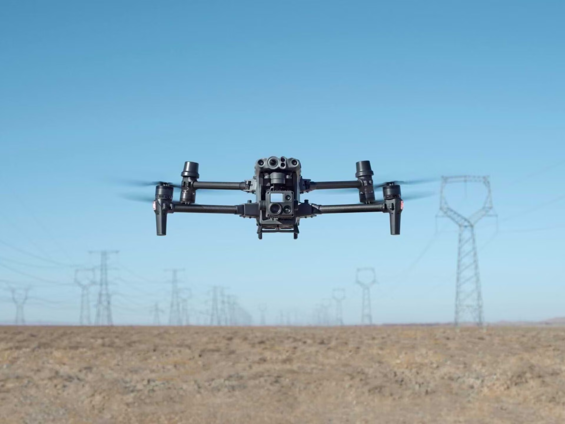
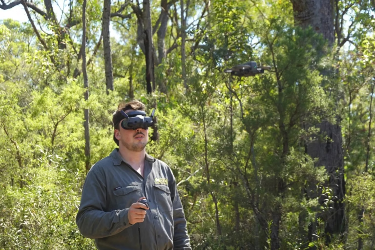
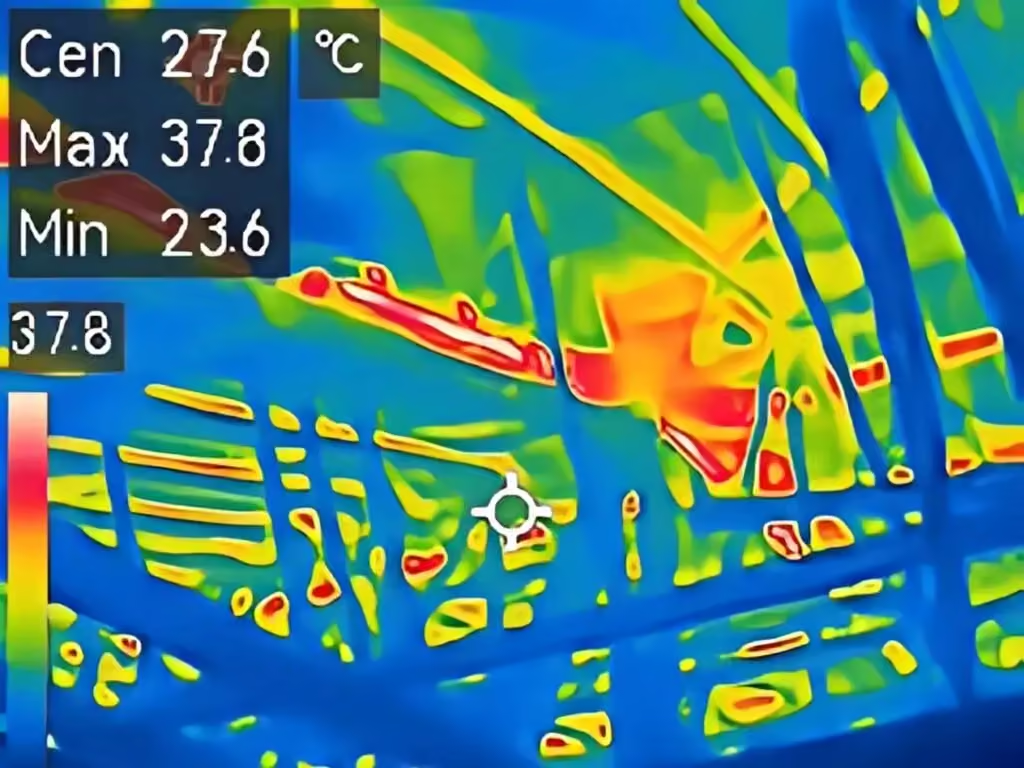
Wildlife drone surveys use thermal or high-resolution cameras to detect and inspect fauna, nests, hollows, and canopy features that may be difficult to assess from the ground. Thermal methods can assist with koalas and other arboreal fauna in suitable conditions, while high-resolution imagery can support nest, hollow, and habitat inspection in hard-to-reach canopy locations that cannot be inspected by a climbing ecologist.
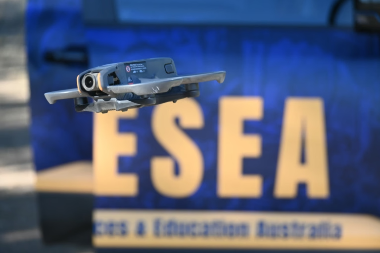
ESEA uses drone capability as part of its ecology field programme and plans each survey around the aircraft, location, airspace, operating category, and pilot authorisations, with detections ground-truthed where practicable before conclusions are reported.
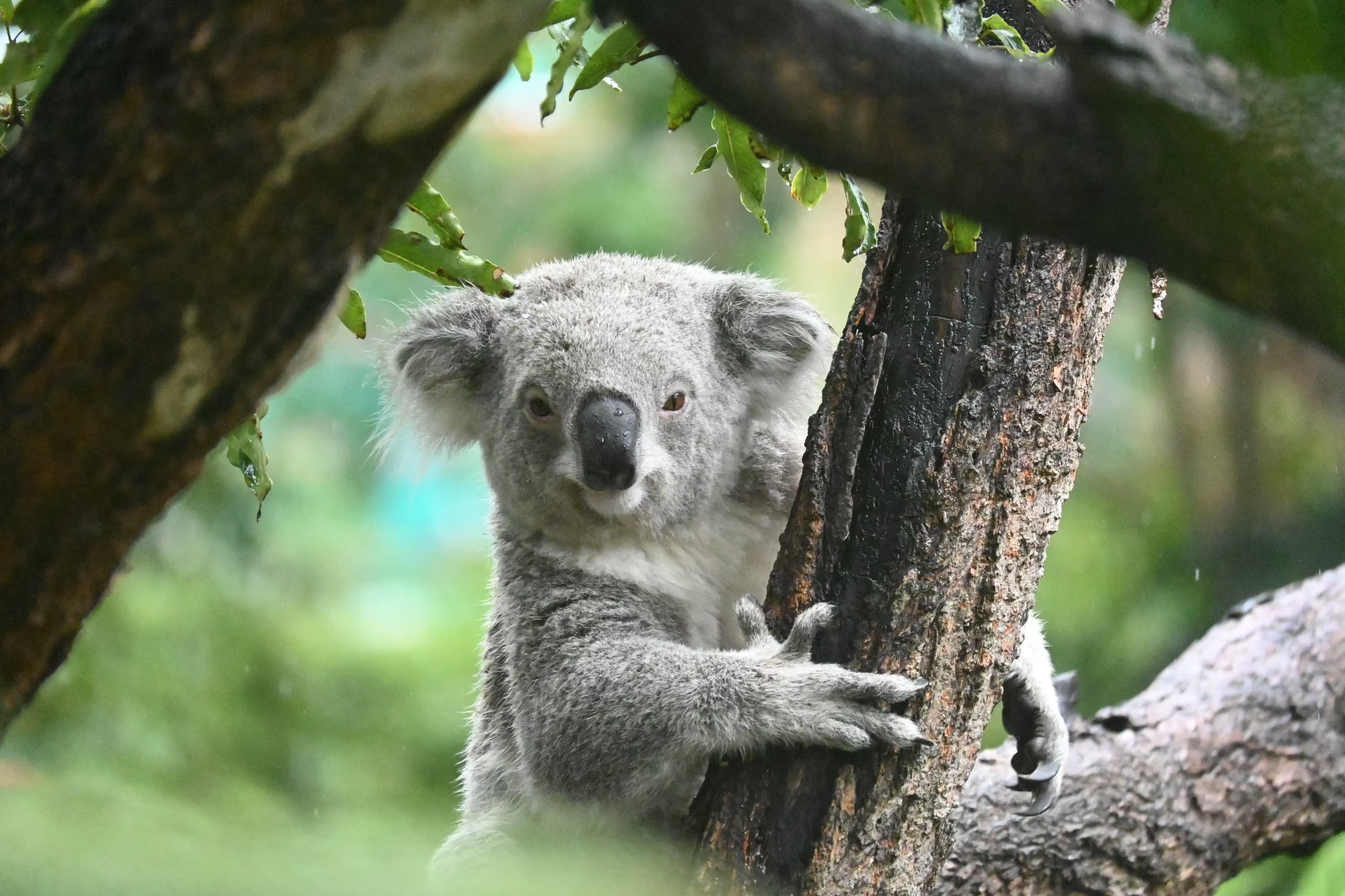
Peer-reviewed Australian research supports the method. Automated detection in drone thermal imagery found koalas with an average probability of detection around 86 per cent, against about 70 per cent for an expert ground spotter, in a 2019 study using radio-collared animals as ground truth.
A 2020 trial found real-time drone thermal imaging outperformed systematic spotlighting and the Spot Assessment Technique for direct koala detection, and a 2025 study reported a deep-learning model detecting 98 per cent of koalas recorded by pilots. The same researchers are clear that drones complement rather than replace ground survey, which is how ESEA uses them, as additional evidence within a guideline-compliant method.
Koala and arboreal mammal detection across large or dense sites, especially as part of pre-clearance surveys or targeted species surveys
Active nest monitoring for raptors and other nesting birds ahead of works, without disturbing the nest
Hollow inspection in tall trees before removal, where climbing is unsafe or slow
Site-wide habitat mapping and vegetation condition imagery for constraints work
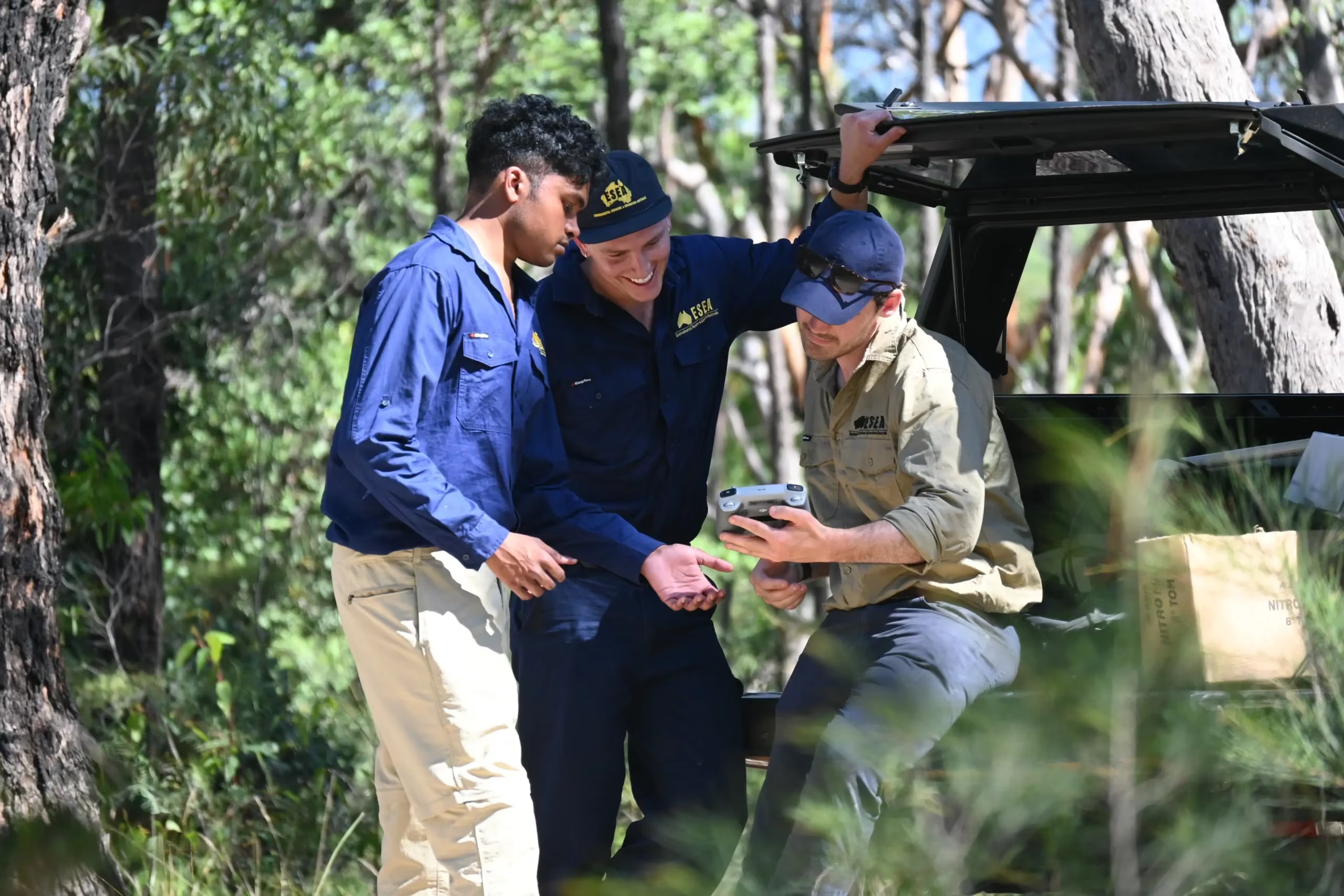
Australian drone rules classify operations by aircraft, weight, location, airspace, time of day, and the pilot or operator authorisations required. ESEA plans each survey accordingly. Where a survey requires an operating approval or credential beyond that held by ESEA personnel, the flight is undertaken through an appropriately authorised arrangement. Controlled-airspace and other site-specific approvals are obtained before flight where required.
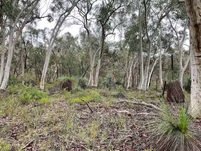
Ahead of construction at a reserve in Campbelltown in 2026, ESEA's drone inspection detected nesting native birds and the works were placed on an ecological hold until the birds fledged.
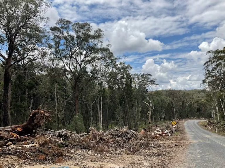
Drone imagery supports ESEA's inspection and clearing work across an approximately 400 hectare development site in Blacktown containing Cumberland Plain Woodland, an Eastern Creek riparian corridor, biodiversity-certified and non-certified land, Biodiversity Values Map areas, a rail corridor, and heritage buildings and on a Transport for NSW bridge project in the Hawkesbury.

Drone survey is at its most useful when it is planned into the survey programme from the start, as part of a pre-clearance survey, a targeted species survey, or a monitoring programme, rather than added after a ground survey has run out of time.
ESEA plans the flights around the species, the season, and the airspace, reports quickly so the result can inform a design or clearing decision, and ground-truths detections before conclusions are drawn. Your survey is managed by an experienced Senior Consultant from commencement through to completion, with Director-level review providing an additional layer of technical and strategic oversight.
ESEA's fees for a drone fauna survey generally fall between about $2,000 and $8,000 plus GST. The site area, whether thermal flights are needed, the number of flights, the level of image processing, and any airspace approvals drive the figure. A short visual inspection is a different job from repeated thermal surveys with spatial outputs. We quote an itemised scope so you can see what is included and what would be a variation.
A focused drone survey report is usually one to three business days after the flight. The flight date depends on weather, access, operating permissions, and pilot availability.
Often, for inspection. A drone can look into a hollow or at a nest that would otherwise need a climber, and it does so without disturbing the animal. It cannot replace a ground survey where the guideline requires one, and it cannot salvage a hollow, which still needs a climbing crew.
Drone thermal detection is well supported in the published literature and is increasingly used in assessments, but it supports rather than replaces the survey method the NSW guidelines prescribe. We use it to increase detection inside a compliant method and report it as such.
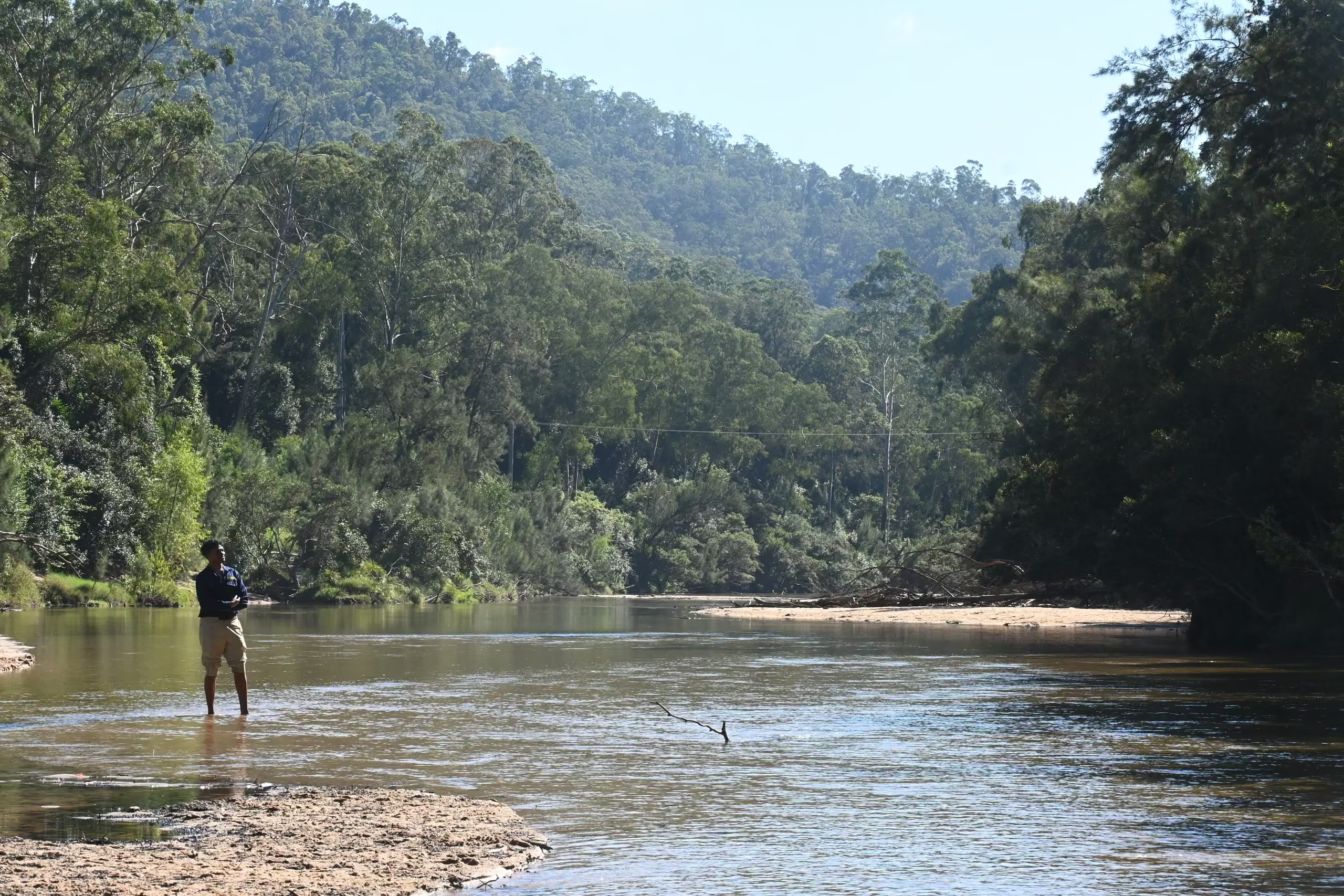

Tell us about the site, the terrain, and the species of concern. We will scope a thermal or high-resolution drone survey, ground-truthed before reporting, and prepare an itemised proposal.