
Targeted Species Surveys
Threatened species surveys timed to the season and conditions guidelines require


Waterfront land assessment, exemption advice, and applications to the Natural Resources Access Regulator for works on or near watercourses.
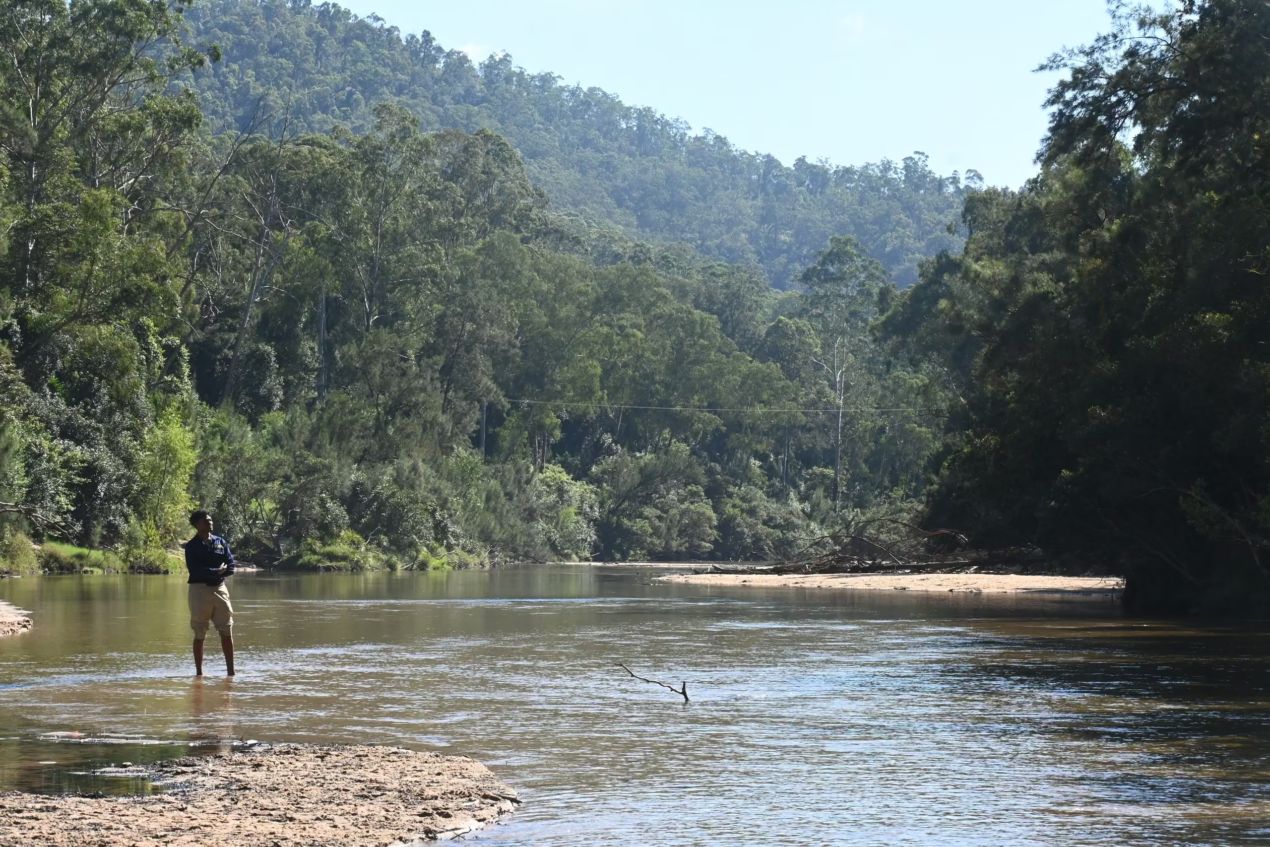

A Controlled Activity Approval (CAA) may be required under section 91 of the Water Management Act 2000 for controlled activities on waterfront land. Waterfront land includes the bed of a river, lake, or estuary and land within 40 metres of a riverbank.
ESEA uses the current NSW waterfront land guidance and e-tool, together with field verification, where required, to determine whether the proposed activity is on waterfront land, whether an exemption applies, and what riparian documentation is needed.
Applications are administered through NSW Water and regulated by the Natural Resources Access Regulator (NRAR).
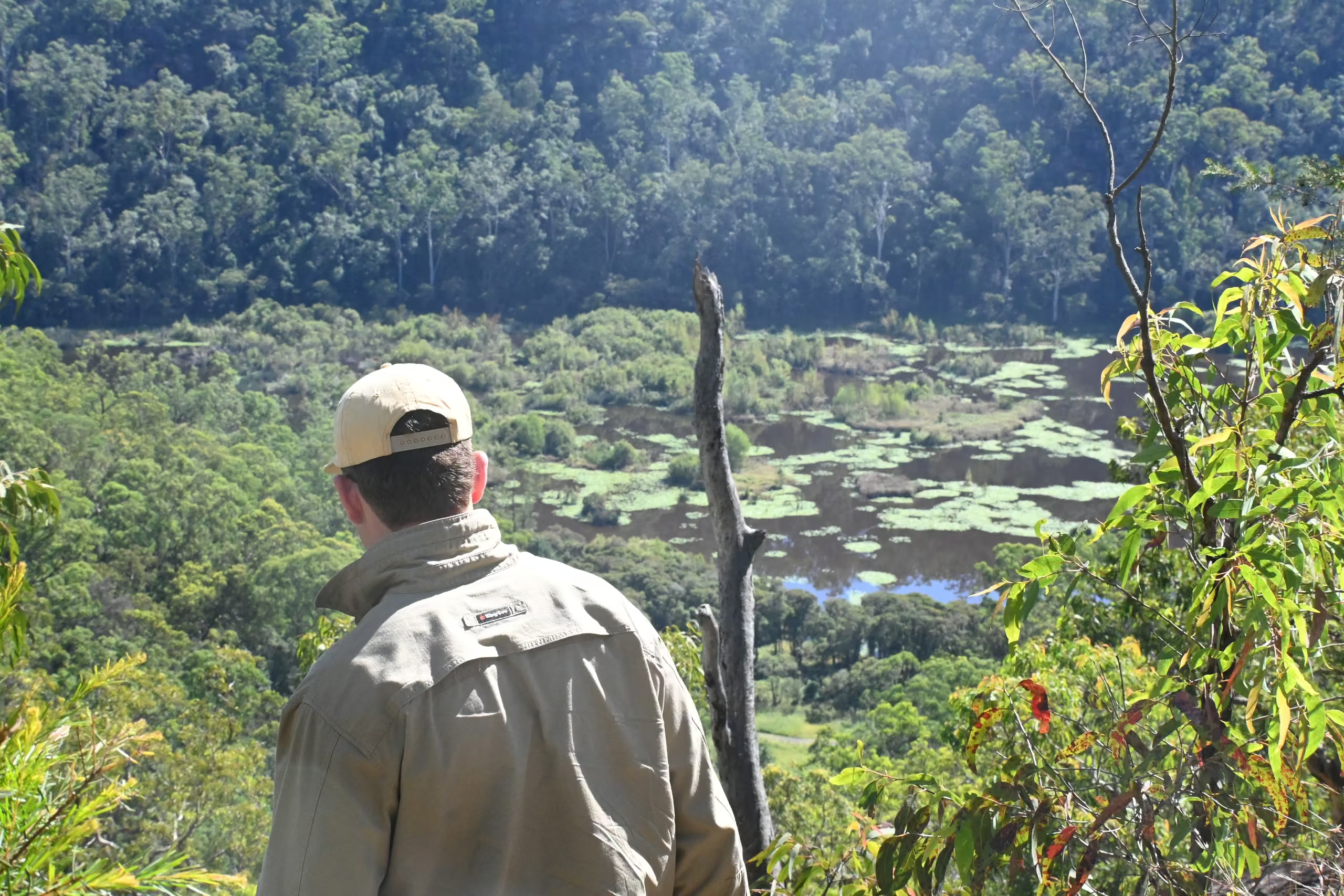
If works such as access, excavation, services, crossings, stockpiles, or vegetation disturbance are proposed on waterfront land, a CAA may be required unless an exemption applies.
The current riparian-corridor guidance uses the Strahler stream-order system, with recommended vegetated riparian zone widths of 10 metres for first-order streams, 20 metres for second order, 30 metres for third order, and 40 metres for fourth order and greater.
Whether a mapped hydro line is actually a watercourse with defined bed and banks is a site-specific determination, so desktop mapping is checked against current NSW Water guidance and field conditions.
Waterfront land and highest bank determination on site, with stream order and riparian corridor width verified
Exemption assessment, so you do not pay for an application you do not need
Riparian assessment and, where required, preparation of a Riparian Vegetation Management Plan
Application preparation, drawings coordination with the civil engineer, and NRAR liaison
Advice on realigning works or corridor offsets where a small design change avoids the approval altogether
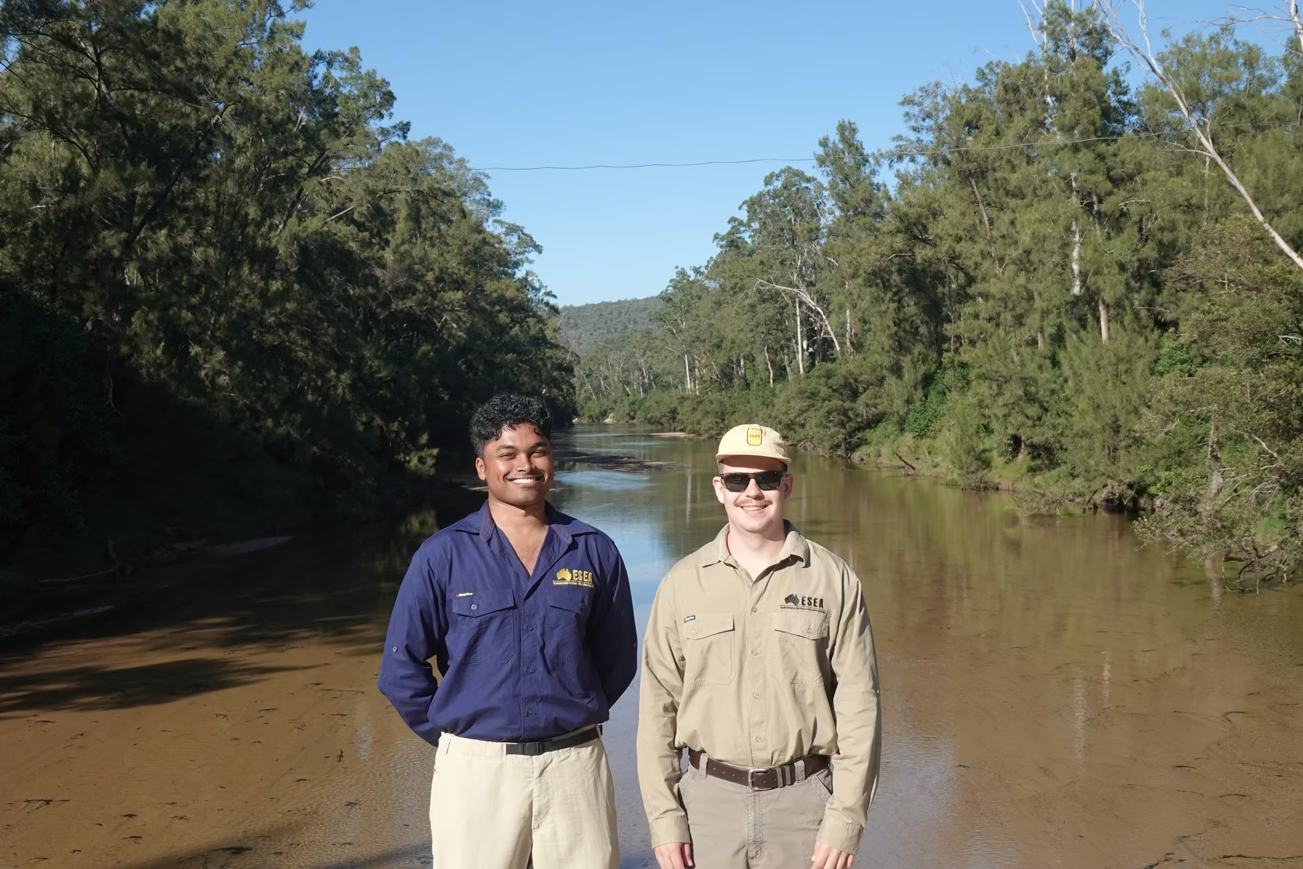
Waterfront land is one of the constraints that most rewards early attention, because whether a mapped line is a watercourse, and what riparian corridor width applies, can change the developable area materially.
ESEA makes that determination at project commencement, works with the civil engineer on practical solutions that minimise the approval triggers and protect subdivision yield, and manages the NRAR process to clear timelines so the approval arrives when the programme needs it. Your application is managed by an experienced Senior Consultant from commencement through to completion, with Director-level review providing an additional layer of technical and strategic oversight.
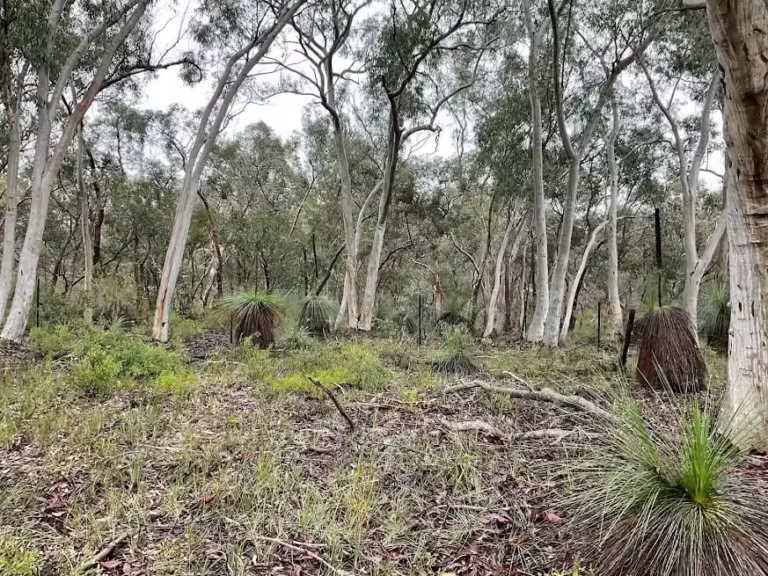
For an industrial development at Smeaton Grange, ESEA's controlled activity exemption advice in November 2024 secured departmental concurrence that a separate approval was not required for the works as designed, an outcome specific to that site and design.
On a residential rezoning in the Hawkesbury, ESEA's riparian assessment led to multiple riparian corridors being declassified through the water agency, which vastly improved the developable area and subdivision yield of the site.
ESEA's fees for Controlled Activity Approval advice or an application package generally fall between about $3,000 and $8,000 plus GST. The watercourse and riparian context, the quality of the engineering information, and the amount of design review and NRAR liaison drive the figure. A limited exemption assessment is less than a package with a detailed riparian assessment and management plan. NRAR fees and the authority's assessment time are separate. We quote an itemised scope so you can see what is included and what would be a variation.
ESEA's package usually takes one to two weeks once survey and design information is available. NRAR's assessment time is outside our control and should not be built into a construction programme as if approval followed automatically from lodgement.
The 40 metre waterfront-land test is applied from the relevant riverbank in accordance with the current NSW Water guidance and waterfront land e-tool. Where the bank or channel is unclear, desktop mapping alone is not enough and a field-based assessment may be needed before the approval pathway can be confirmed.




Send us the site plan and a description of the works. We will confirm whether it is waterfront land, whether an exemption applies, and what a Controlled Activity Approval application to NRAR would need.