
Services on this project
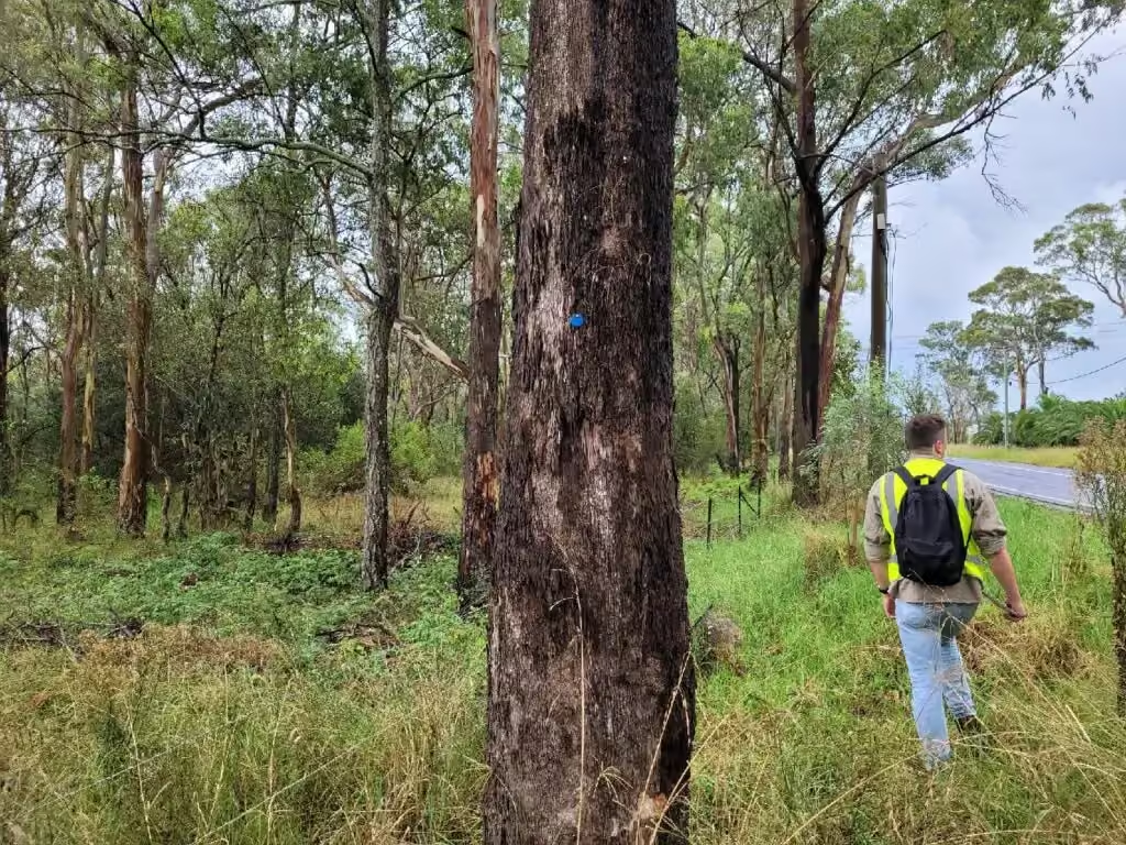
ESEA is supporting ecological assessment and strategic planning across an approximately 400 hectare development site in Riverstone West, in the Blacktown local government area. The site contains Cumberland Plain Woodland, the Eastern Creek riparian corridor, biodiversity-certified and non-certified land, Biodiversity Values Map areas, a rail corridor, heritage buildings and detailed DCP and LEP masterplanning requirements.
What made the site complex?
Each of those constraints carries its own approval pathway, and on this site they overlap. Certified and non-certified land sit side by side, the riparian corridor and the Biodiversity Values Map areas limit where development can go, and the masterplan has to work around a rail corridor and heritage buildings at the same time. ESEA’s role is to integrate these overlapping constraints into a workable development framework rather than assess each one in isolation.
What ESEA does on the project
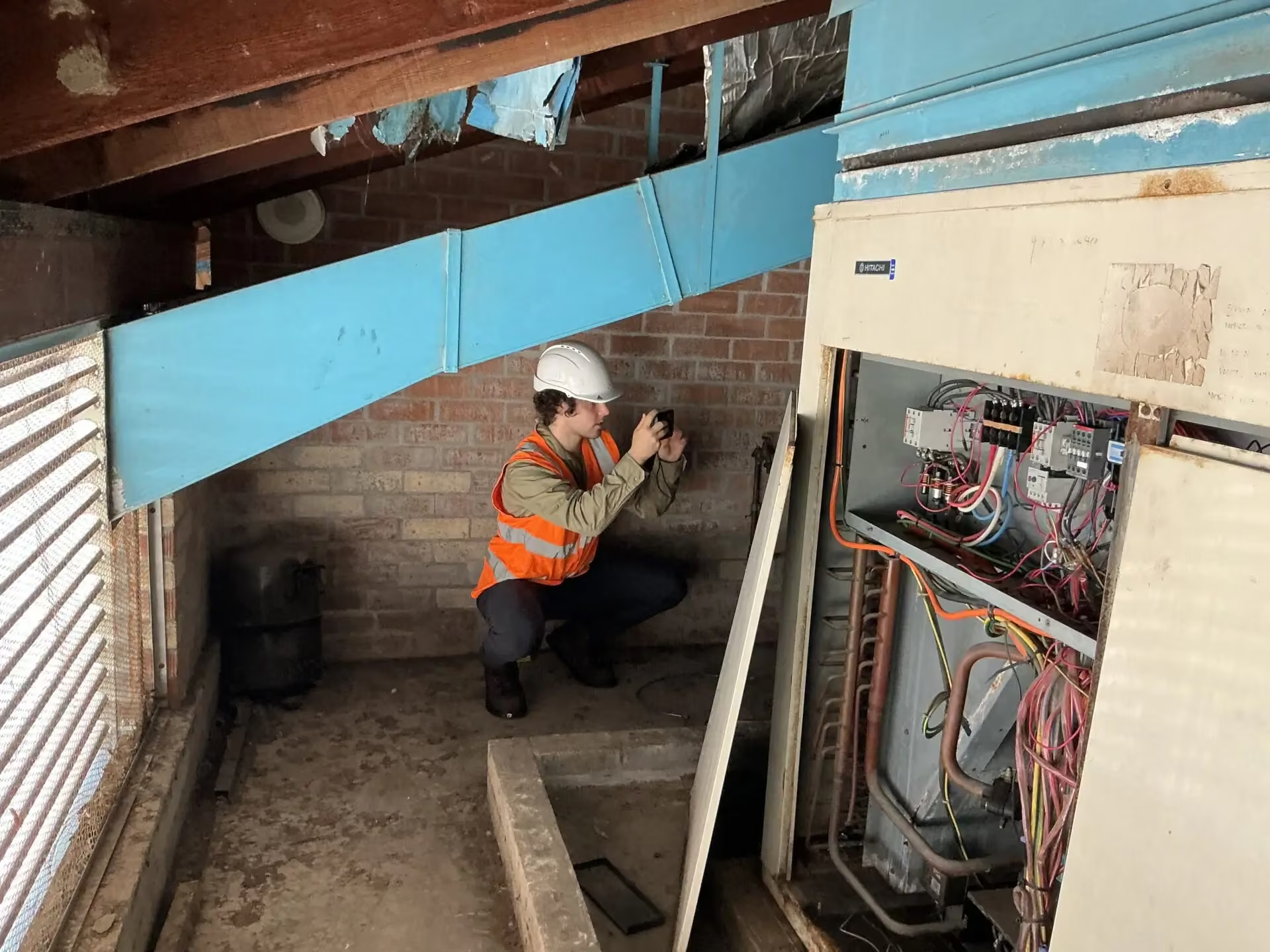
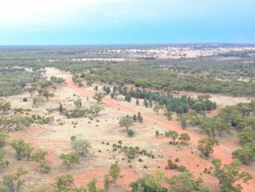
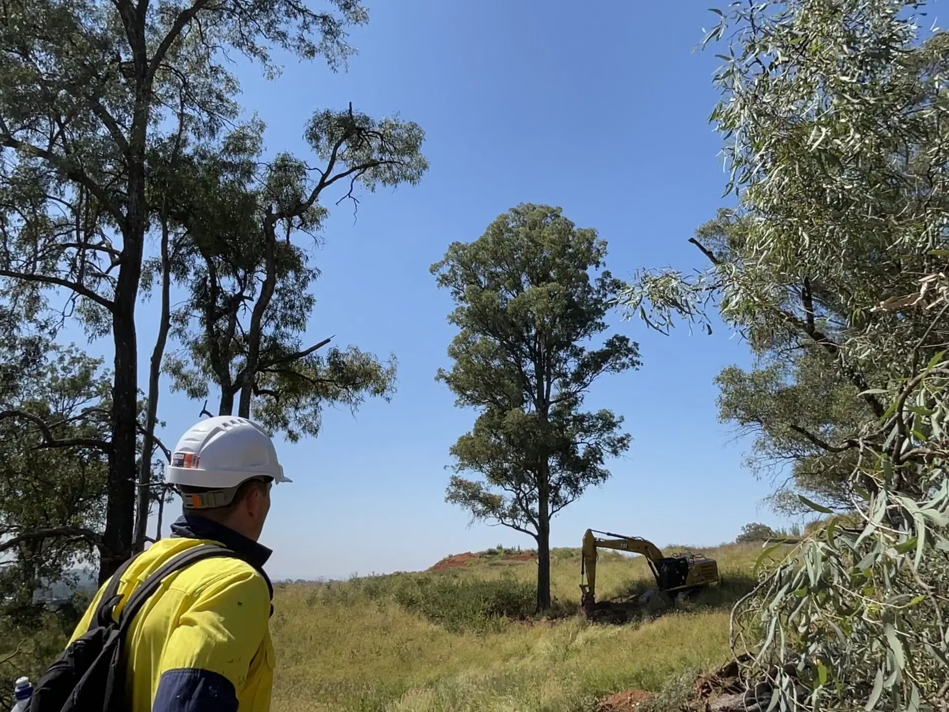
ESEA provides the biodiversity assessment and constraints strategy, vegetation mapping, habitat assessment and riparian advice, and carries the same evidence into construction as the project ecologist. That continuing role covers management planning, pre-clearing work, clearing supervision, replacement habitat and dam dewatering support for the site’s decommissioned farm dams. Drone imagery supports the inspection and clearing work.
An arboricultural impact assessment has been coordinated with the biodiversity assessment and the masterplanning, and tree protection and habitat replacement are being coordinated by ESEA as project arborist alongside the ecology work.
Key figures
- Site area: approximately 400 hectares
- Stage 1 Vegetation Management Plan: finalised June 2026
- Hollow salvage and replacement programme: 107 hollows recorded across nine habitat trees
- Consent requirement: 3:1 replacement ratio for hollows that cannot be salvaged, met through salvaged natural hollows and carved or engineered replacement hollows
The hollow programme is being reconciled with the tree schedule and the clearing sequence, so salvage, replacement and clearing happen in the order the consent requires.
Related reading
For how the Biodiversity Offsets Scheme now applies to sites like this one, see what changed in the Biodiversity Offsets Scheme on 7 March 2025 and biodiversity offset charges in NSW from 1 October 2026. A smaller residential example of the same constraints is the Advance Street subdivision at Schofields.