AREAS WE SERVE

Environmental consultants in the Hawkesbury

More of ESEA's recorded projects sit in the Hawkesbury than in any other council area, across rezoning, bridge infrastructure, State Significant tourism, rural subdivision, and independent review.

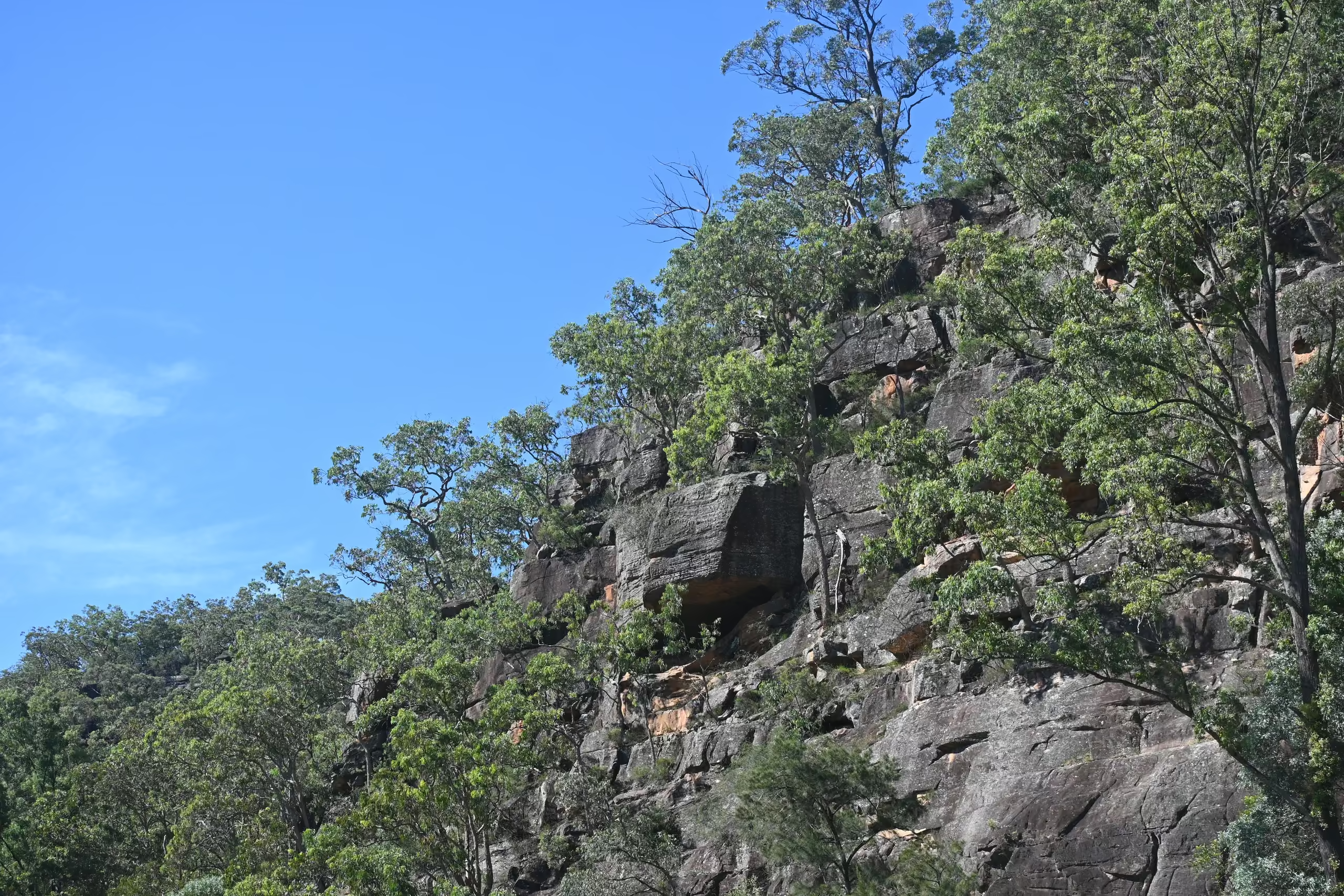
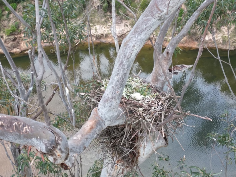
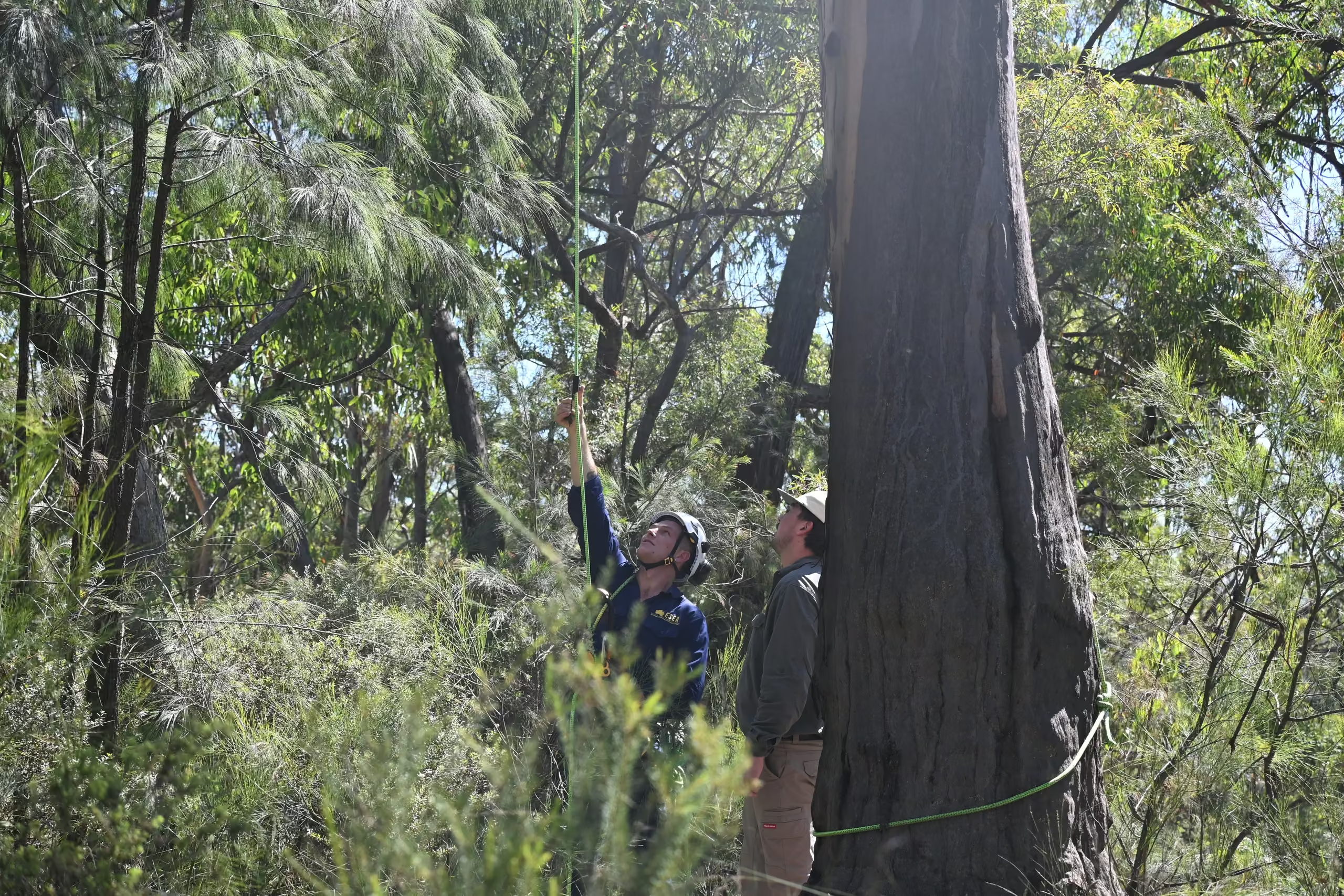
Sandstone cliffs and eucalypt bushland above a river on an ESEA arboricultural assessment site in NSWWhite-bellied Sea-Eagle nest in a eucalypt above a river, monitored by ESEA ecologists in NSW

Hawkesbury is where ESEA has done the most work, with projects across biodiversity development assessment reports, flora and fauna assessments, riparian assessment, vegetation management, clearing supervision, project ecologist services, and threatened fauna management. Sites here typically carry several constraints at once, Cumberland Plain Woodland and the Castlereagh woodlands, Hawkesbury-Nepean flood levels, waterfront land along the river and its creeks, and bushfire asset protection zones. ESEA's role is usually to relate all of them to a layout while it can still change, without compromising on development yield or project success.

QUICK FACTS

Quick facts for the Hawkesbury

01

Council

Hawkesbury LGA, administered from Windsor

02

Population and area

About 68,000 residents (ABS ERP 2023) across roughly 2,776 square kilometres, the largest council area in metropolitan Sydney

03

Tree controls

Hawkesbury DCP Part C Chapter 9 Preservation of Trees and Vegetation, giving effect to LEP 2012 clause 5.9; tree and vegetation removal permits; replacement planting 1:1 on lots under 1,000 square metres and 1:3 above

04

Threatened communities

Cumberland Plain Woodland, Castlereagh Scribbly Gum Woodland, Castlereagh Swamp Woodland, Agnes Banks Woodland, river-flat alluvial forest

05

Waterways

Hawkesbury-Nepean River, Grose River, Cattai Creek, South Creek, Rickabys Creek, Colo River; much of the valley sits below the probable maximum flood

06

Distance from ESEA

About 57 kilometres, roughly an hour, from Pyrmont to Windsor

COUNCIL RULES

Council rules and assessment pathways in the Hawkesbury

Tree and vegetation removal in the Hawkesbury is controlled through Part C Chapter 9 of the Hawkesbury Development Control Plan, which gives effect to clause 5.9 of the Hawkesbury LEP 2012, and removing or pruning a prescribed tree generally needs a permit from Council first. Where native vegetation clearing that does not need development consent exceeds the Biodiversity Offsets Scheme threshold, or the land is on the Biodiversity Values Map, approval comes from the Native Vegetation Panel rather than Council. Replacement planting is typically conditioned at one for one on lots under 1,000 square metres and three for one above.

Works within 40 metres of the highest bank of the river or its creeks are on waterfront land and need a Controlled Activity Approval unless an exemption applies, and the riparian corridor widths, 10 to 40 metres each side by stream order, decide how much of a lot is developable.

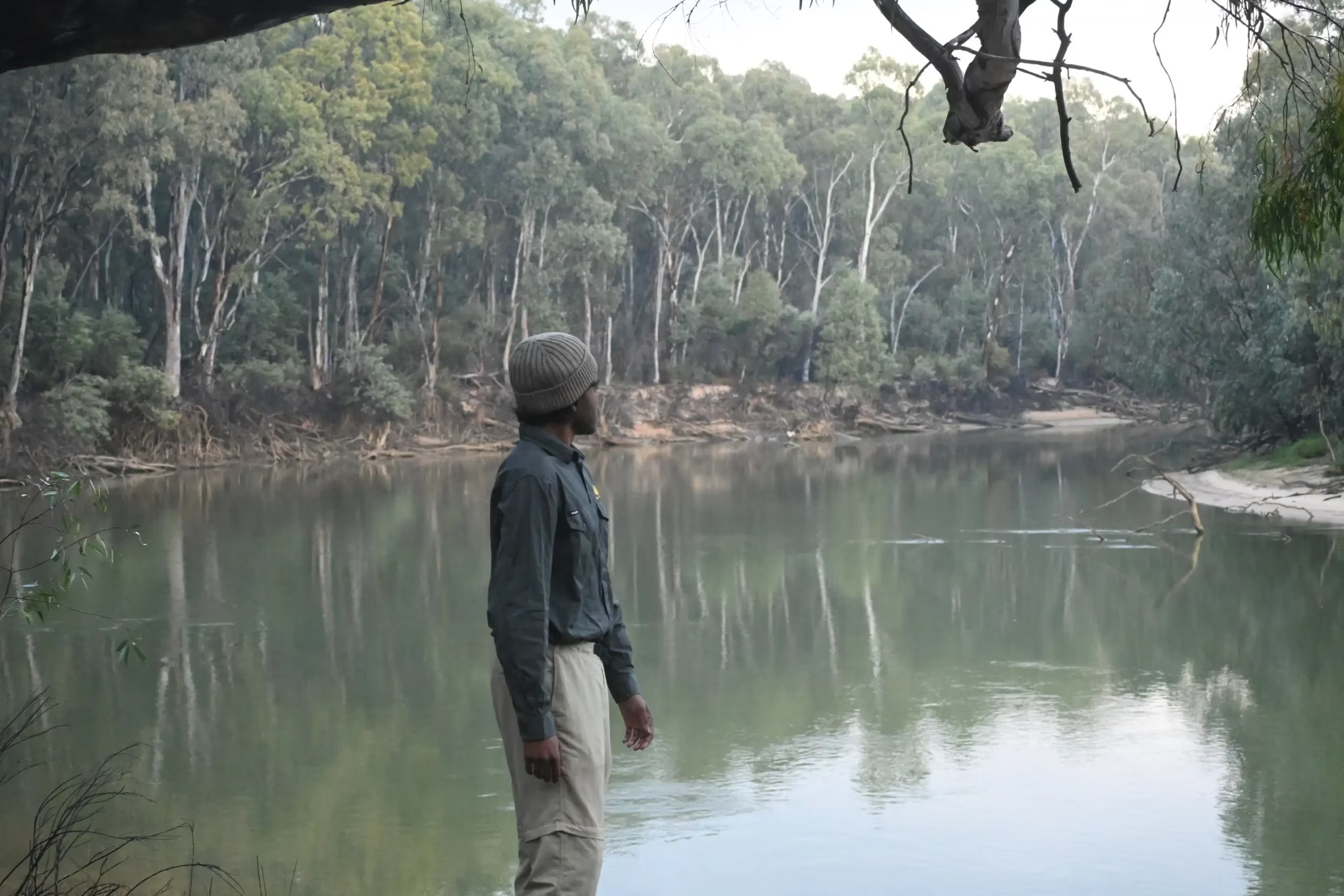
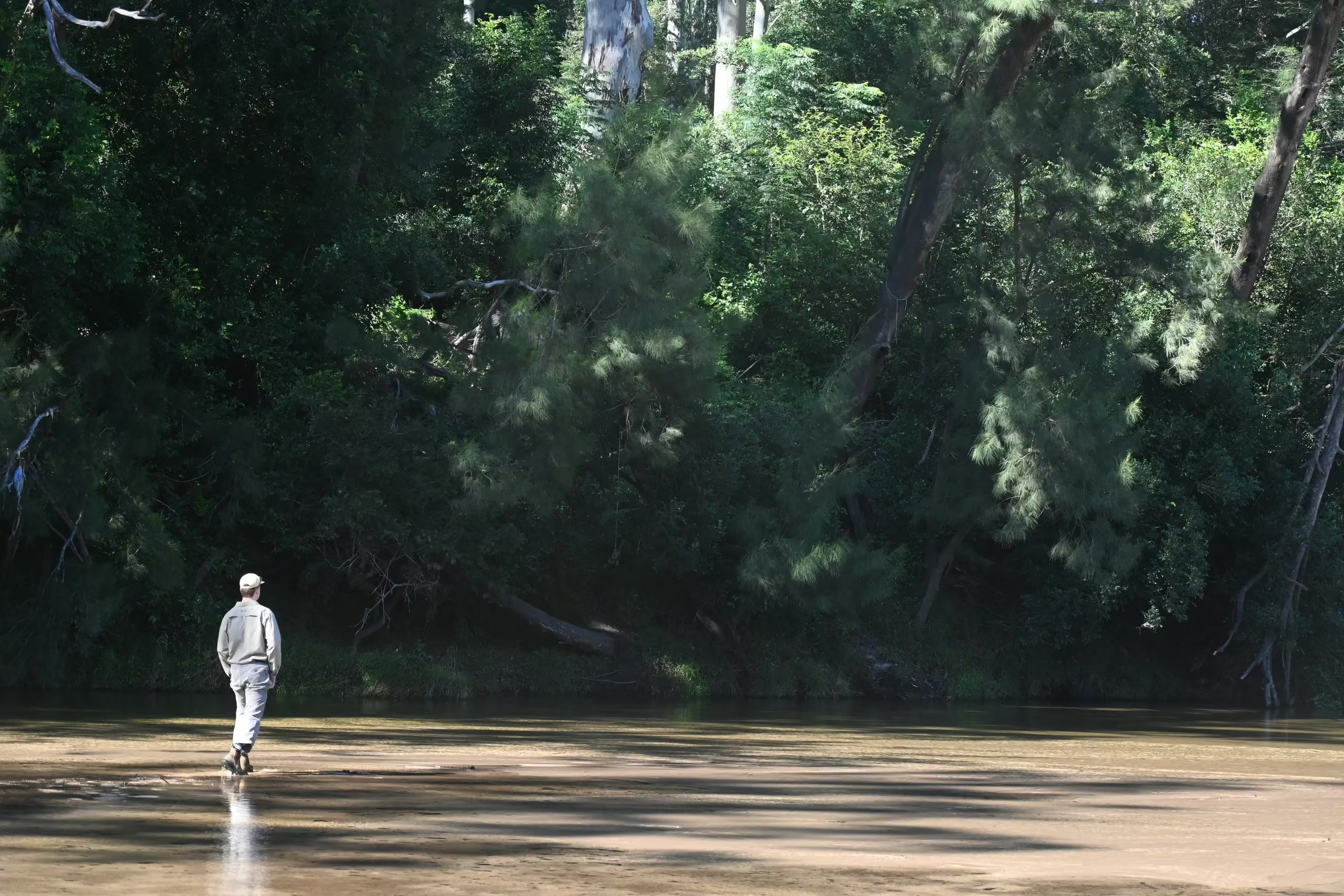
ESEA ecologist standing on a river bank assessing riparian habitat in regional NSW
LOCAL ECOLOGY

Vegetation, species and waterways

Cumberland Plain Woodland is the critically endangered community that shapes most Hawkesbury projects, with the Castlereagh Scribbly Gum and Castlereagh Swamp Woodlands also presenting regular constraints. Green and Golden Bell Frog, Grey-headed Flying-fox, koalas in the western and northern parts of the LGA, and White-bellied Sea-Eagles nesting along the Grose and Hawkesbury are the species that most often require additional consideration and assessment.

DEVELOPMENT CONTEXT

Where the work is

Work here comes from residential subdivision and rezoning around North Richmond, Grose Vale, and Kurrajong; bridge and road infrastructure upgrades throughout the rapidly expanding LGA; rural and semi-rural development; riparian assessment; and construction-stage ecological compliance work. Council also commissions ESEA for independent biodiversity review of development applications across the LGA.

ESEA's work in the Hawkesbury

ESEA prepared the riparian assessment and biodiversity development assessment report for a residential rezoning at Grose Vale on land containing critically endangered Cumberland Plain Woodland. The work supported a high subdivision lot yield; multiple mapped riparian corridors were declassified through the water agency; and ESEA facilitated and supervised the vegetation clearing for the widening of Grose Vale Road that the development needed.

On a Transport for NSW bridge project at Grose River, ESEA contributed to the Review of Environmental Factors, and prepared the biodiversity assessment, a vegetation management plan, and koala and White-bellied Sea-Eagle management plans. ESEA then delivered pre-clearing surveys and clearing supervision.

At Kurrajong Heights, ESEA has provided biodiversity assessment and project ecologist input since 2024 to a State Significant tourism proposal on one of the largest private landholdings in the Sydney region.

ESEA also undertakes biodiversity peer review work for councils in the Greater Sydney region, with review sites across the Hawkesbury including Kurmond, Glossodia, Bilpin, Pitt Town, Richmond, Windsor, and Blaxlands Ridge.

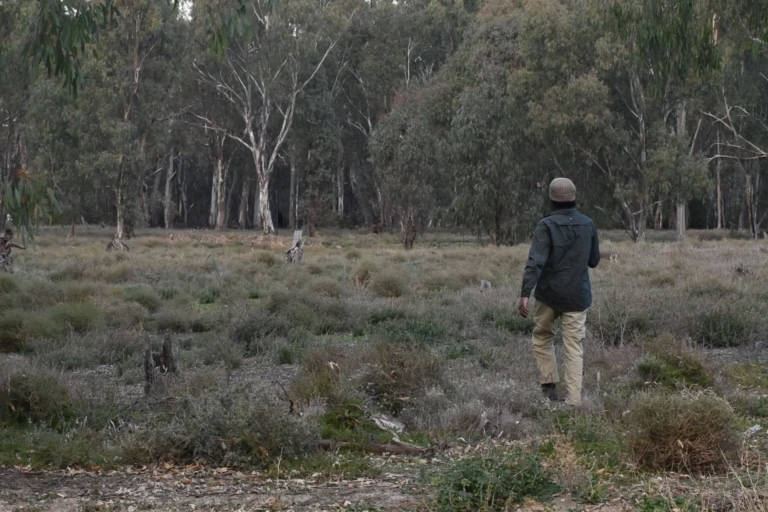
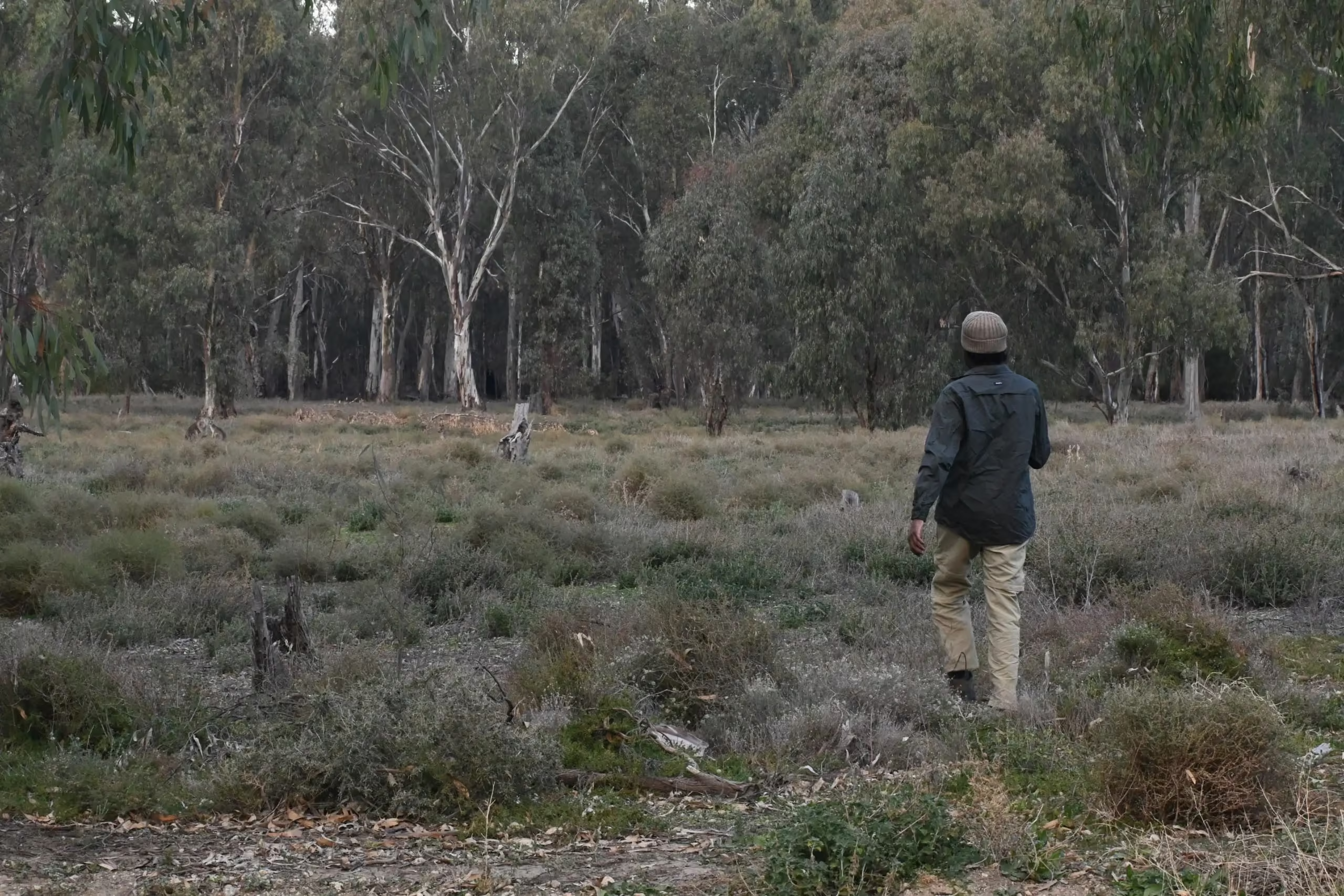
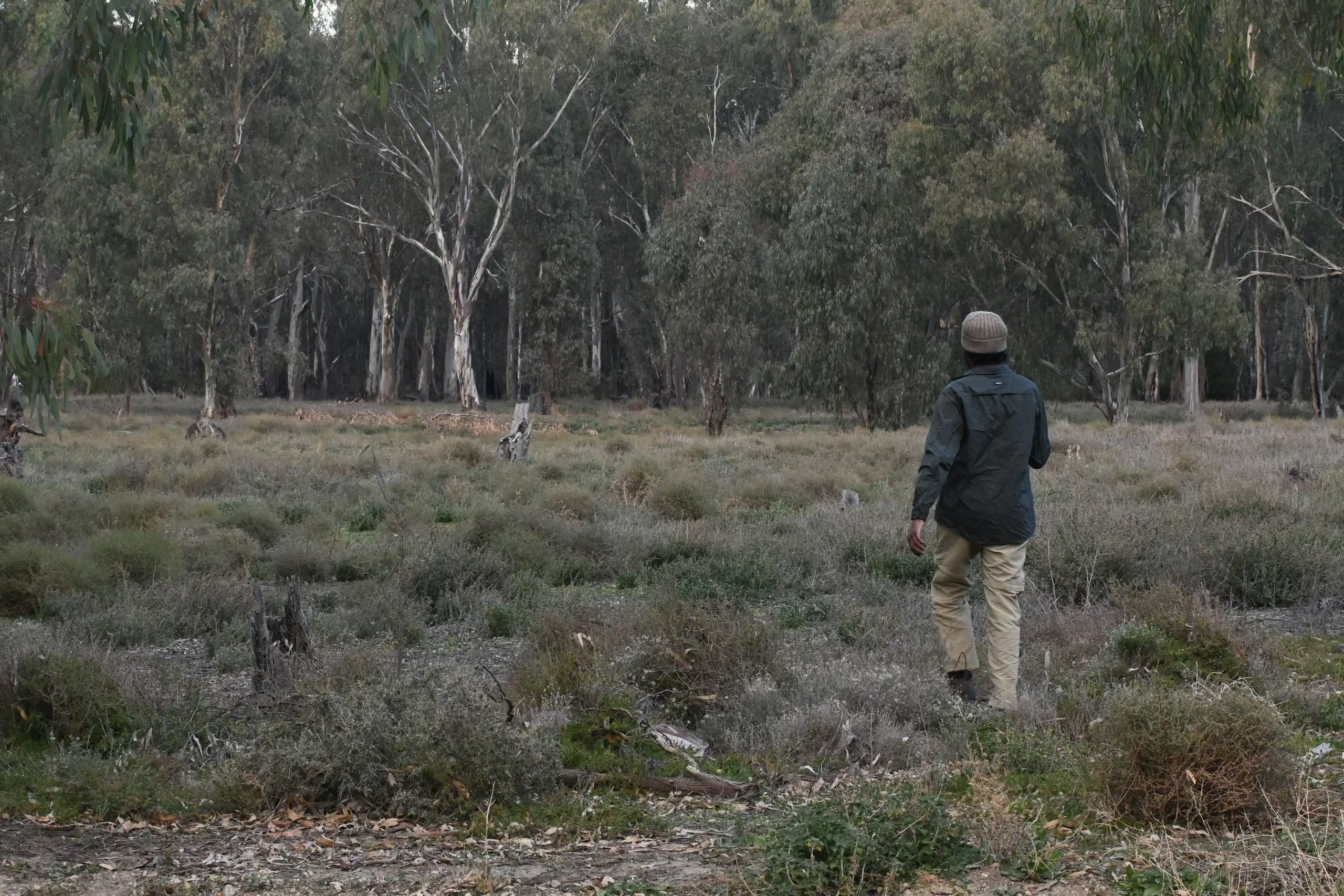
ESEA ecologist walking a survey transect through grassy woodland in regional NSW
Grose Vale
BDAR
Riparian assessment

Biodiversity and riparian assessment for a residential rezoning on land containing critically endangered Cumberland Plain Woodland, with multiple riparian corridors declassified through the water agency.

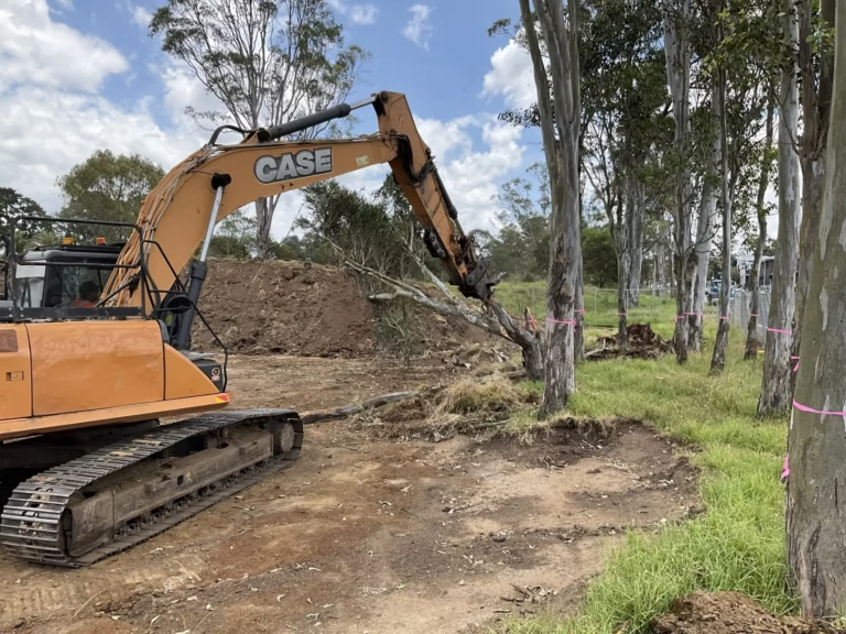
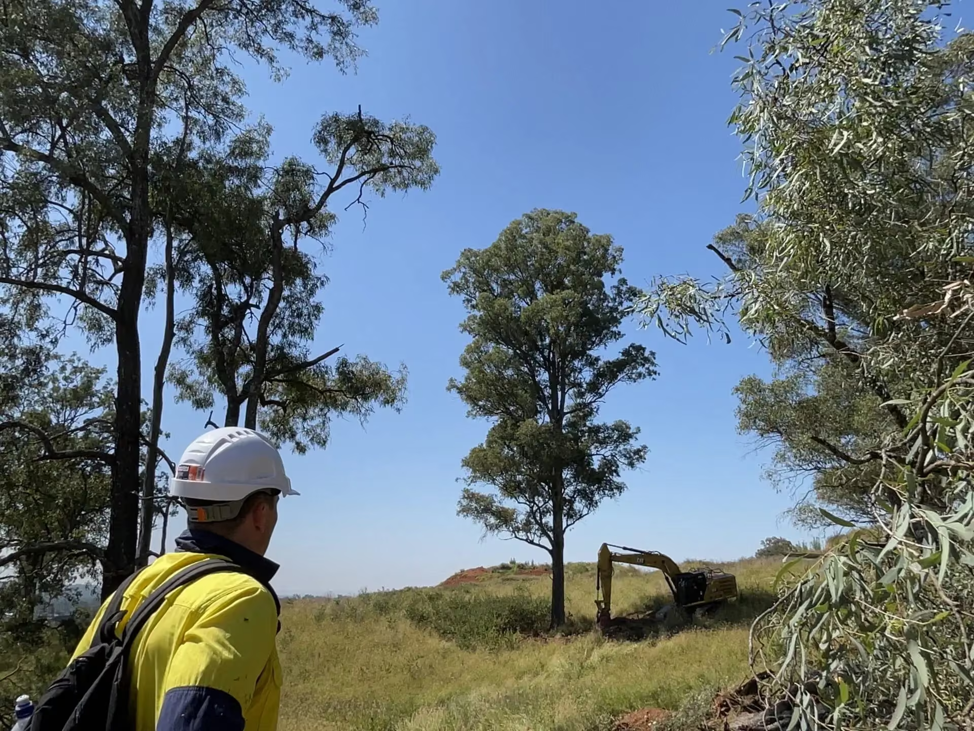
Excavator working beside retained eucalypts under ESEA clearing supervision on a NSW construction site
Hawkesbury
Koala management
Sea-eagle management

Environmental documentation and on-site ecology for a Transport for NSW bridge project in the Hawkesbury, with koala and White-bellied Sea-Eagle management running alongside construction.

Places we work near

The Kemsley Park area around North Richmond and Grose Vale, the Grose River and its bridge crossing at Grose Wold and Yarramundi, the Hawkesbury River through Windsor, Richmond, and Pitt Town, Bells Line of Road through Kurmond, Kurrajong, and Bilpin, Wheeny Creek and the Colo, and Scheyville National Park on the Blacktown boundary.

Services most requested in the Hawkesbury

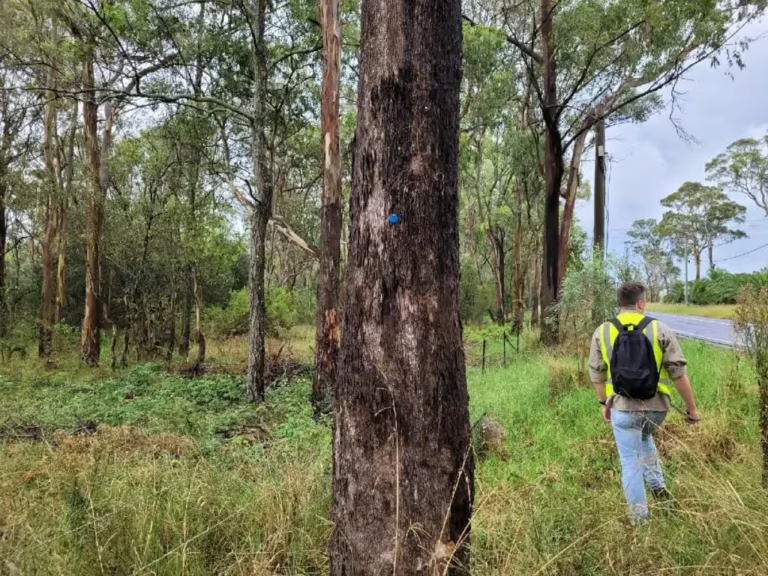
ESEA consultant in hi-vis inspecting tagged trees along a road reserve during an arboricultural impact assessment in NSW

Biodiversity development assessment reports and flora and fauna assessments

Statutory biodiversity assessment for development in NSW, from a preliminary constraints check to a full BDAR under the Biodiversity Assessment Method.
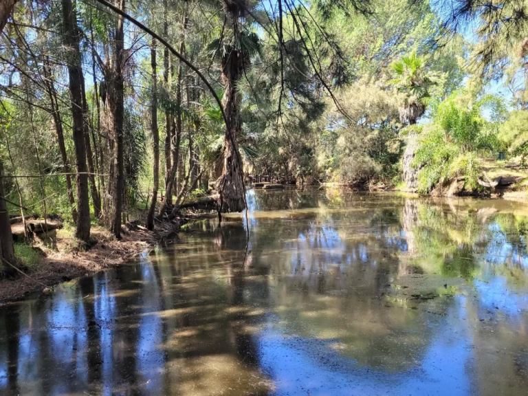
Creek with riparian vegetation and palms on a project ecologist and dam dewatering site in NSW

Riparian assessment and Controlled Activity Approvals

Waterfront land assessment, exemption advice, and application support for controlled activities on waterfront land, generally measured within 40 metres of the highest bank of a river, lake, or estuary.
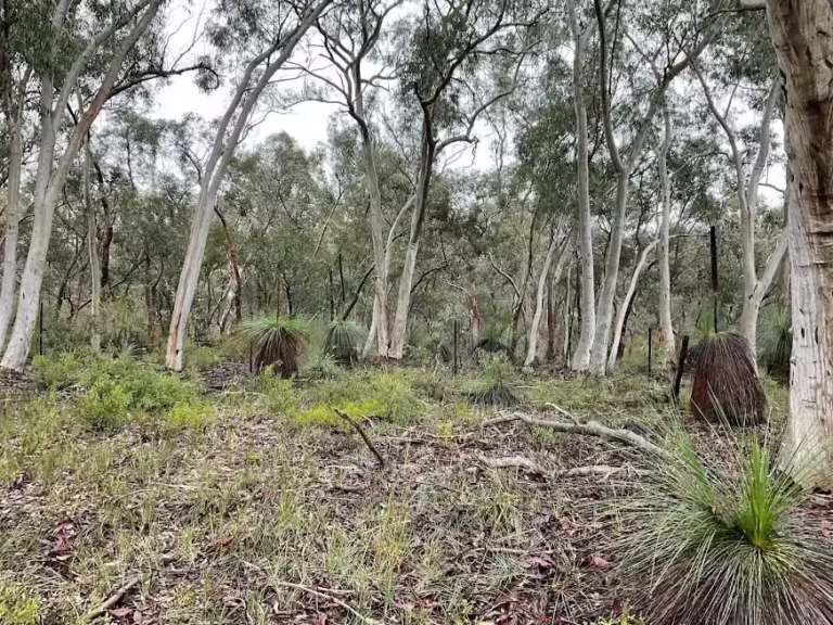
Grassy eucalypt woodland with grass trees on a NSW biodiversity survey site

Vegetation management plans

Practical, council-ready plans for protecting, restoring, and monitoring retained vegetation and rehabilitation areas.
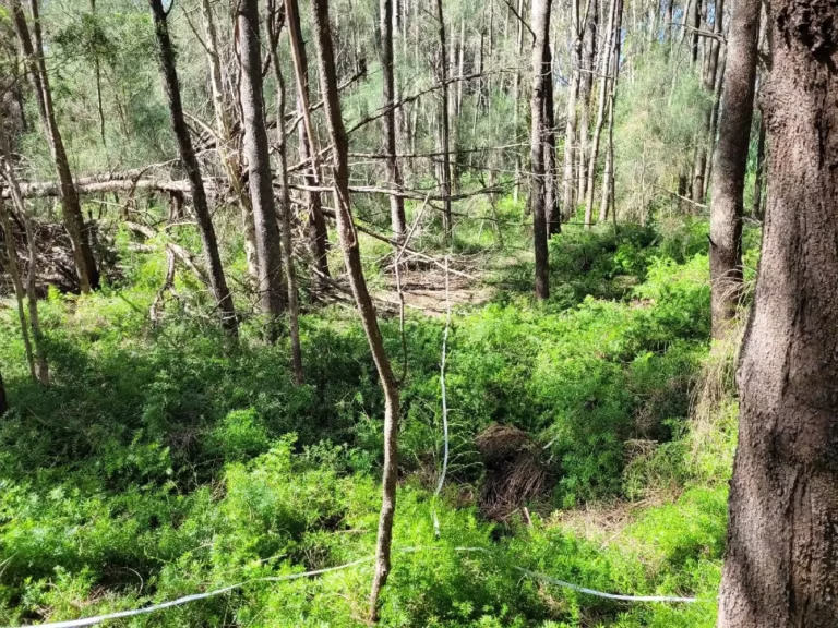
Regenerating bushland with fallen timber and dense understorey on a NSW survey site

Project ecologist services for infrastructure and subdivision

An ecologist embedded with your project team from concept design through approval, construction, and post-approval compliance.
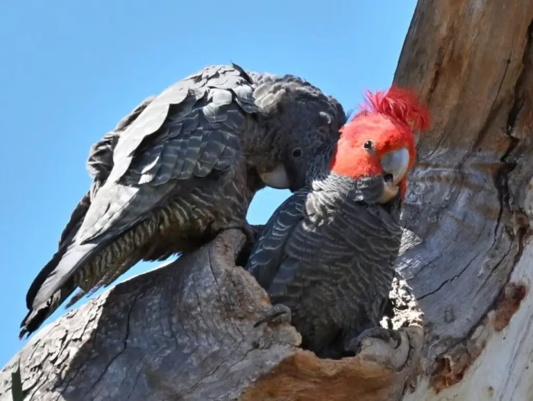
Pair of Gang-gang Cockatoos at a tree hollow, a threatened species recorded during an ESEA fauna survey in NSW

Koala and threatened fauna management plans

Management plans for koalas and other threatened fauna, with survey, exclusion, and supervision measures for works.
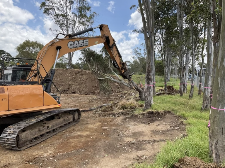
Excavator clearing vegetation beside flagged retained trees under ESEA ecologist supervision in Sydney

Pre-clearing surveys, clearing supervision, and certification

Pre-clearing surveys, fauna spotter-catcher attendance, and post-clearing certification.
ESEA consultant preparing GIS mapping for a peer review at the Pyrmont office in Sydney

Independent peer review

Independent review of BDARs, biodiversity assessments, and ecological reports for councils, proponents, and legal teams.
BEFORE YOU START

What we tell clients before they start in the Hawkesbury

Involve ecological and arboricultural assessment and advice before the subdivision layout, civil works, and asset protection zones are fixed. In the Hawkesbury a small move of a road, a building envelope, or a clearing boundary at concept stage is often the difference between avoiding a woodland patch and offsetting it, and it is far cheaper than redesign after three other disciplines have finished.

Write the report to be tested. Council uses independent review, and a report whose vegetation mapping, species decisions, impact areas, and mitigation commitments are not consistent with the BAM requirements, DCP, or LEP will come back with questions and require revision. ESEA writes its reports to withstand peer review scrutiny. As peer reviewers ourselves, we know which issues consistently cause DAs to be refused, so we work around those constraints from the outset.

Each Hawkesbury project is managed by a Senior Consultant from commencement through to completion, with Director-level review of every report. We engage at concept stage, when the woodland, flood, and riparian constraints can still shape the layout, and we look for practical compliance solutions that support approval without compromising lot yield or project success. You can expect responsive communication and clear timelines from the first site visit through to the final certification.


FAQ

Common questions about the Hawkesbury

Most often, yes. Impacts to native vegetation on land mapped on the Biodiversity Values Map are a trigger for the Biodiversity Offsets Scheme regardless of the clearing area, so a BDAR by an accredited assessor is required. Whether the mapping is correct for your lot can be tested and reviewed. ESEA has extensive experience preparing Biodiversity Values Map review requests and BDAR waiver requests.

Not necessarily in law. ESEA has experience conducting riparian assessments and having mapped hydrolines declassified by the NSW water agency. Where a riparian corridor is clearly present, the statutory question becomes where the highest bank of the defined channel sits and what stream order it has. A first order stream needs a ten metre vegetated riparian zone each side, a fourth order stream 40 metres, and an exemption may apply to minor works.

A Flora and Fauna Assessment generally starts from about $8,000 plus GST and a BDAR from about $15,000, with complex sites carrying threatened ecological communities, riparian corridors, and seasonal surveys running to $50,000 or more.

Council commissions review of ecological reports on many applications in the LGA. Assume yours will be read by another accredited assessor and have it written to withstand that scrutiny.

Other areas we serve

Environmental consultants across Western Sydney

Environmental consultants across Western Sydney

ESEA’s environmental consultants are Western Sydney specialists, with extensive experience delivering ecological assessments, environmental approvals, and specialist consulting services across all eight local government areas of the Western Parkland City.
View area
Environmental consultants in The Hills Shire

Environmental consultants in The Hills Shire

ESEA’s environmental consultants are Hills Shire specialists, with extensive experience delivering ecological assessments, environmental approvals, and specialist consulting services across The Hills Shire Council local government area.
View area
partner with us

Start with the site or project

Tell us about your site, project, or research programme, what you are looking to achieve, and the current stage of your project. We will review the available information, identify the likely environmental requirements, and prepare an itemised proposal, typically within two business days for straightforward enquiries.