AREAS WE SERVE

Environmental consultants in Penrith

Logistics estates on Mamre Road, industrial land at St Marys, woodland blocks at Castlereagh, and growth precincts toward the Aerotropolis, each with its own planning framework.

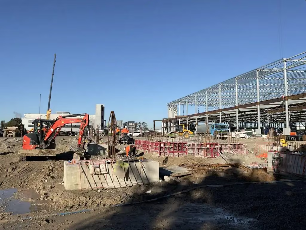
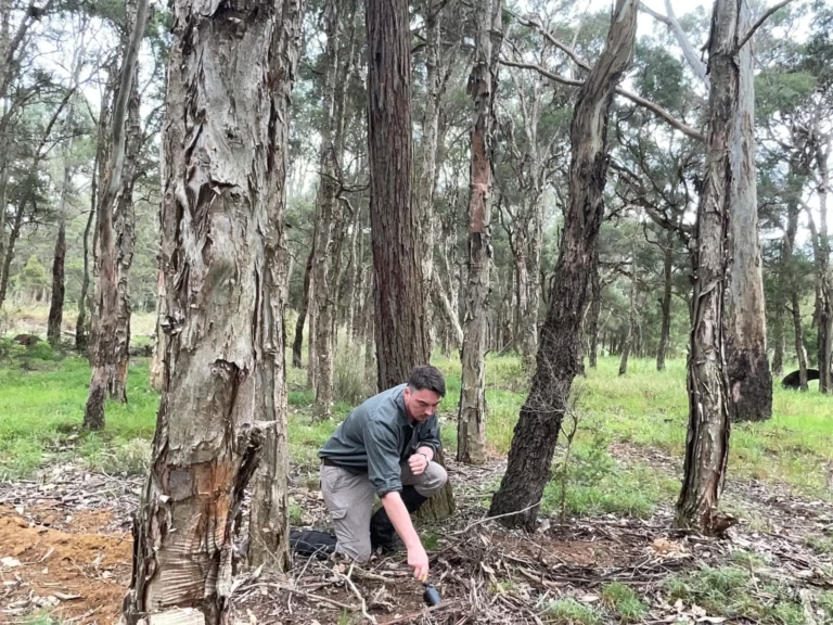
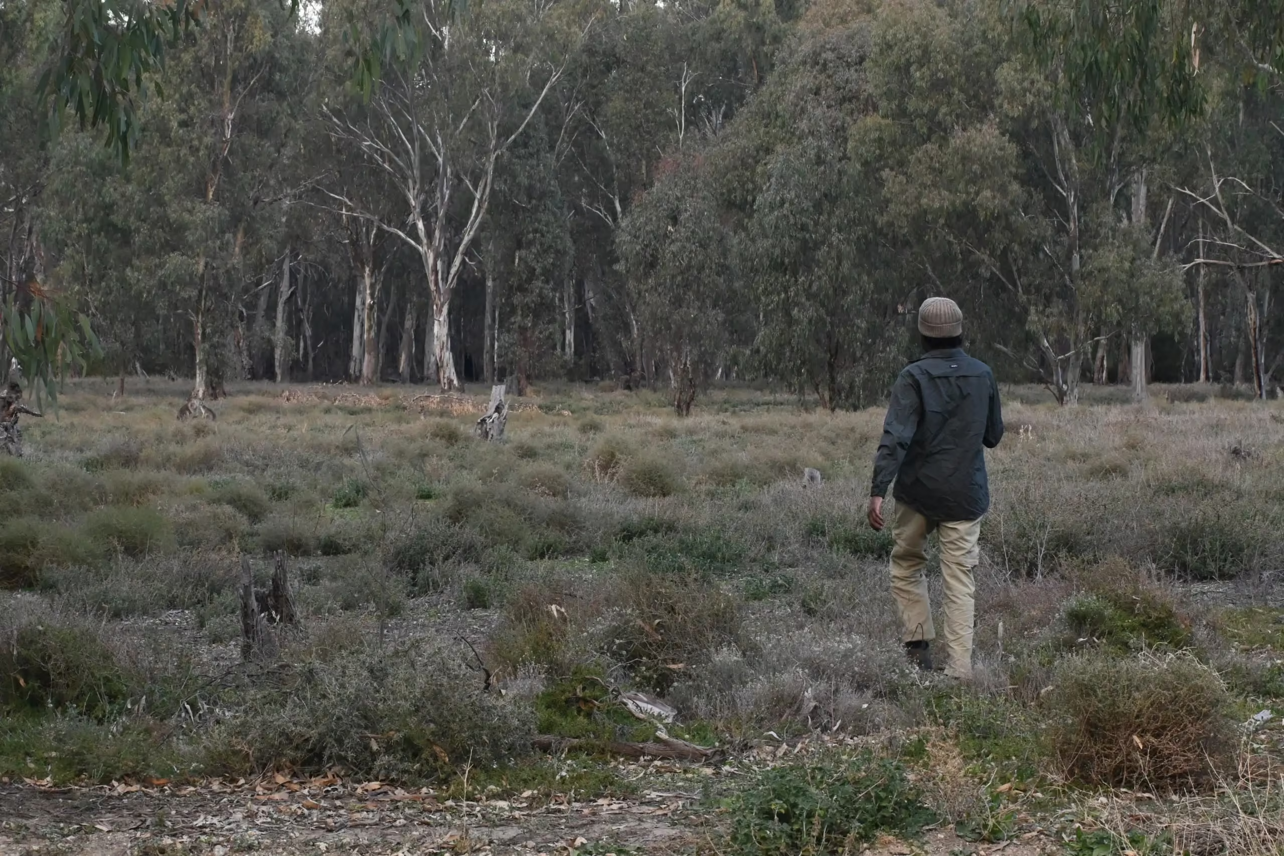
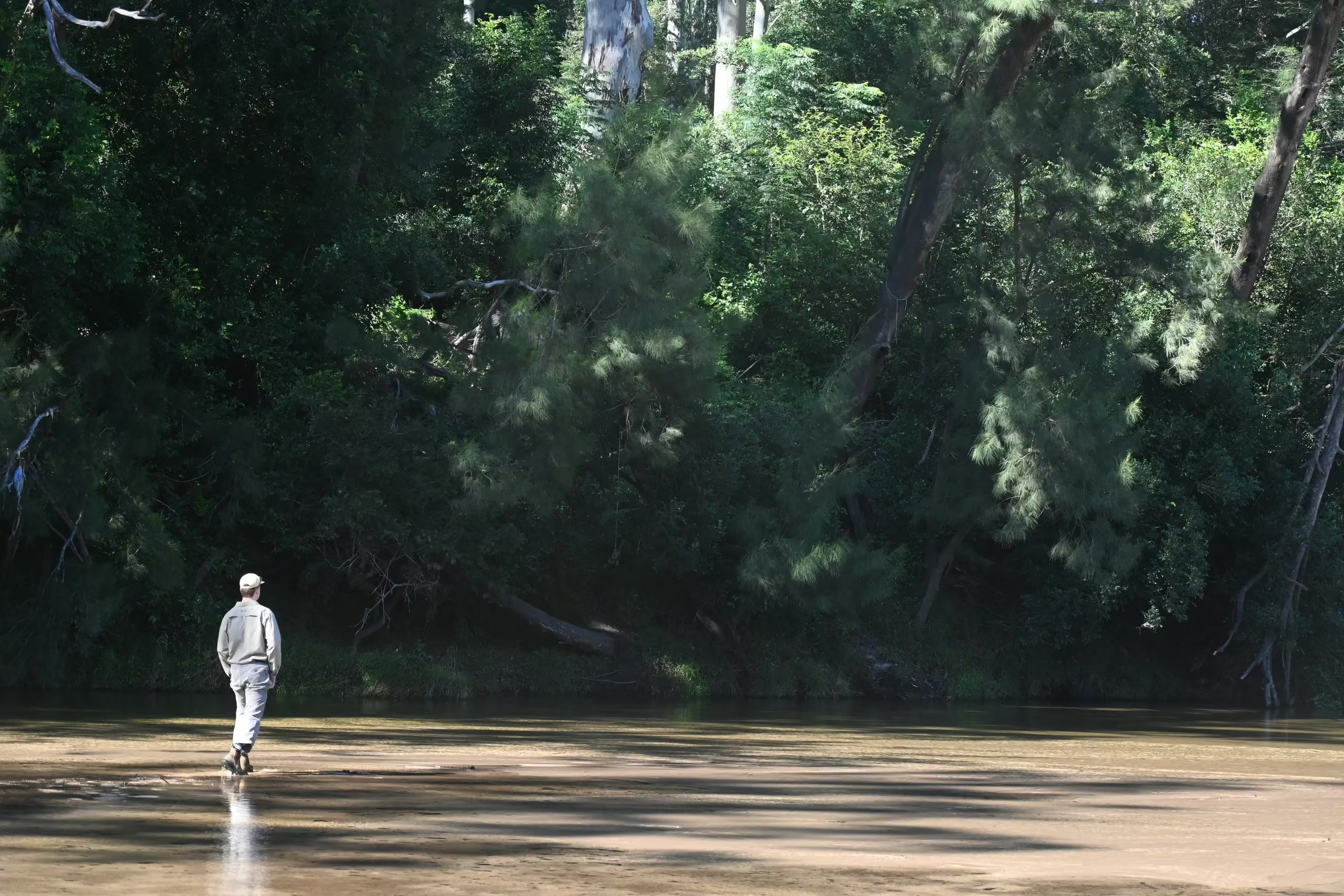
Industrial construction site with excavators and a steel building frame in Western SydneyESEA ecologist inspecting the ground layer of paperbark woodland for a Review of Environmental Factors in NSW

Penrith's ordinary development controls do not apply the same way across the whole council area. The Mamre Road Precinct has its own DCP, the Greater Penrith to Eastern Creek area is one of the four nominated certification areas under the Cumberland Plain Conservation Plan, the Aerotropolis has its own SEPP, and the rest of the LGA runs under Penrith DCP 2014. ESEA has documented experience across Penrith in flora and fauna assessments for logistics estates, biodiversity development assessment reports for residential land containing Cumberland Plain Woodland, pre-clearing surveys, and biodiversity and vegetation management for large-scale industrial development at St Marys.

QUICK FACTS

Quick facts for Penrith

02

Tree controls

Penrith DCP 2014 Part C2 Vegetation Management; a tree is a living perennial 3.5 metres or more in height or over 100 millimetres trunk diameter at 1.4 metres, or listed on Significant Trees and Gardens; separate permits to remove or prune trees and to clear native vegetation; clearing above the Biodiversity Offsets Scheme threshold goes to the Native Vegetation Panel

03

Planning instruments

Penrith DCP 2014; Mamre Road Precinct DCP 2021 within its boundary; Western Sydney Aerotropolis SEPP 2020 in the airport precincts; Cumberland Plain Conservation Plan certification in the Greater Penrith to Eastern Creek area

04

Threatened communities

Cumberland Plain Woodland, Castlereagh Scribbly Gum Woodland, Castlereagh Swamp Woodland, Shale Sandstone Transition Forest, Agnes Banks Woodland; 13 native vegetation communities and over 500 native plant species

05

Waterways

Nepean River, South Creek, Ropes Creek, Werrington Creek

06

Distance from ESEA

About 55 kilometres, roughly 55 minutes, from Pyrmont

COUNCIL RULES

Council rules and assessment pathways in Penrith

Penrith DCP 2014 Part C2 and the vegetation SEPP govern tree and native vegetation removal, with a tree defined as a living perennial plant 3.5 metres or more in height or over 100 millimetres trunk diameter at 1.4 metres, or listed on the significant trees register. Council issues two kinds of vegetation permit, one to remove or prune trees and one to clear native vegetation, but where clearing exceeds the Biodiversity Offsets Scheme area threshold, or the land is on the Biodiversity Values Map, the application goes to the Native Vegetation Panel rather than council.

The precinct frameworks matter as much as the DCP. The Mamre Road Precinct Development Control Plan 2021 replaces the Penrith DCP inside its boundary, the Aerotropolis SEPP and DCP apply in the airport precincts, and on certified-urban capable land in the Greater Penrith to Eastern Creek area the Cumberland Plain Conservation Plan removes the need for a site BDAR while leaving arborist reports, Controlled Activity Approvals, spotter-catchers, vegetation management plans, and the strategic biodiversity contribution in place.

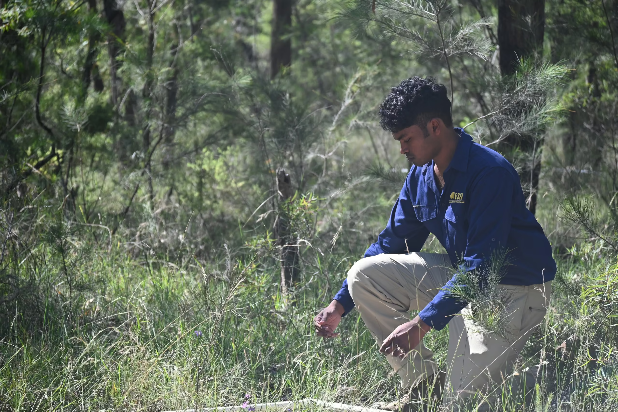
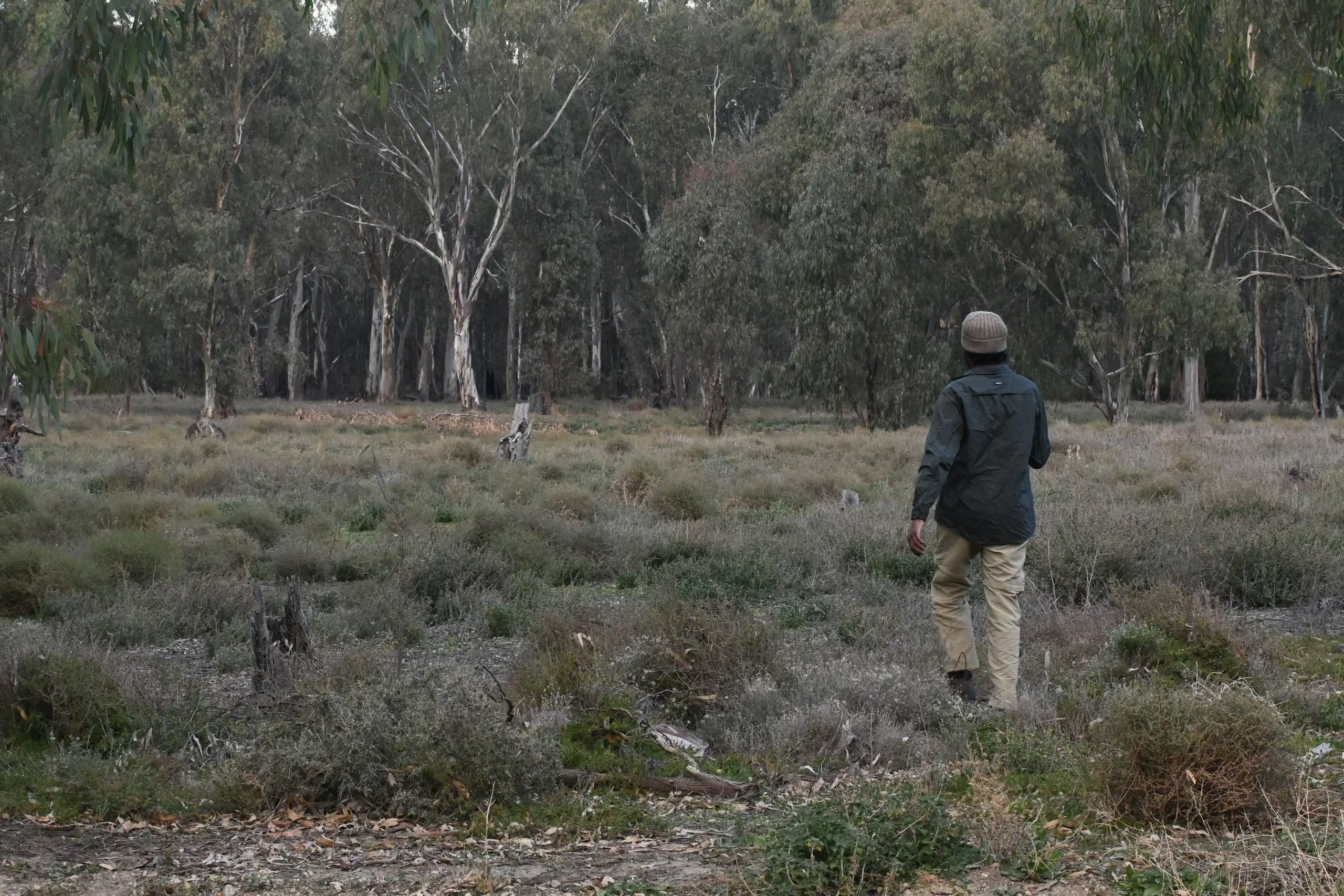
ESEA ecologist crouching to identify plants during a flora survey for a project ecologist job in NSW
LOCAL ECOLOGY

Vegetation, species and waterways

Cumberland Plain Woodland dominates the shale country and the Castlereagh Scribbly Gum and Swamp Woodlands and Agnes Banks Woodland occupy the sands to the north, with Shale Sandstone Transition Forest on the rising ground. Green and Golden Bell Frog and Cumberland Plain Land Snail are the species most often triggering targeted survey, and the river-flat forest along the Nepean adds a riparian community to the list on western sites.

The Nepean forms the western boundary and South Creek, Ropes Creek, and Werrington Creek cross the growth precincts, so waterfront land and Controlled Activity Approvals are routine, and flood constraints along the Nepean shape what can be built where.

ESEA's work in Penrith

At a logistics estate on Mamre Road, Kemps Creek, ESEA prepared the flora and fauna assessment within the Mamre Road Precinct planning context.

At West Wilchard Road, Castlereagh, ESEA's small area biodiversity development assessment report covered a two hectare property containing Cumberland Plain Woodland and a design that kept works around the existing dwelling, reduced the asset protection zone, and avoided the dam, recording about 0.09 hectares of direct clearing and one ecosystem credit for that design, an example of avoidance during design rather than offsets calculated after the footprint was fixed.

At Lee Holm Road, St Marys, ESEA's biodiversity development assessment report and vegetation management plan supported a large-scale industrial development for a Tier 1 developer, using the site's contaminated land and flooding constraints to support vegetation removal and a maximum gross floor area while working around a riparian corridor and a power easement.

At Silverwood Avenue, Luddenham, ESEA carried out a project ecologist pre-clearing survey ahead of works.


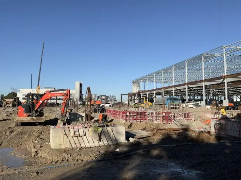
Industrial construction site with excavators and a steel building frame in Western Sydney
St Marys
BDAR
Vegetation management

Ecological input to a large-scale industrial development that used the site's contaminated-land and flooding constraints to focus development within more disturbed areas.

Places we work near

Mamre Road and Kemps Creek, Castlereagh and the Castlereagh Nature Reserve country, Luddenham and the Northern Gateway, Lee Holm Road at St Marys, the Nepean River at Penrith and Emu Plains, and Wianamatta-South Creek on the eastern side.

Services most requested in Penrith

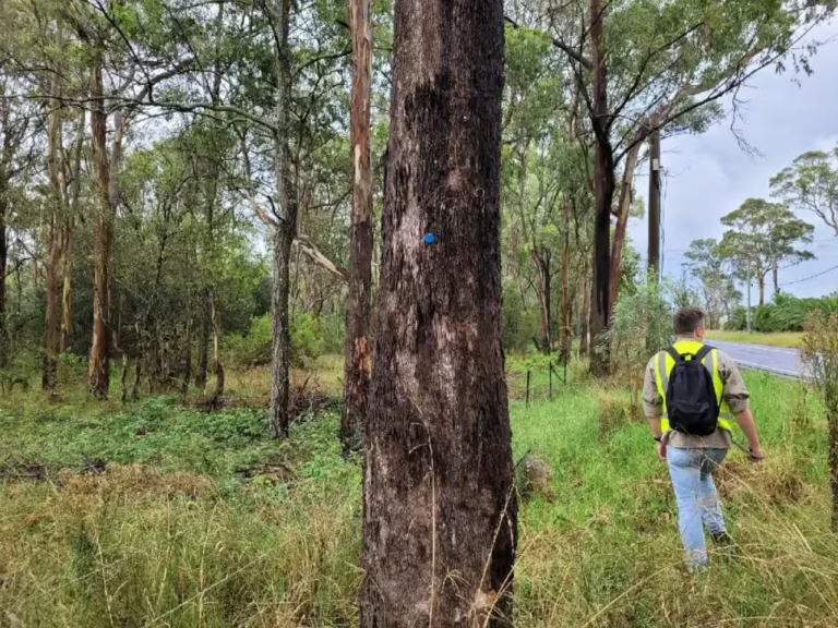
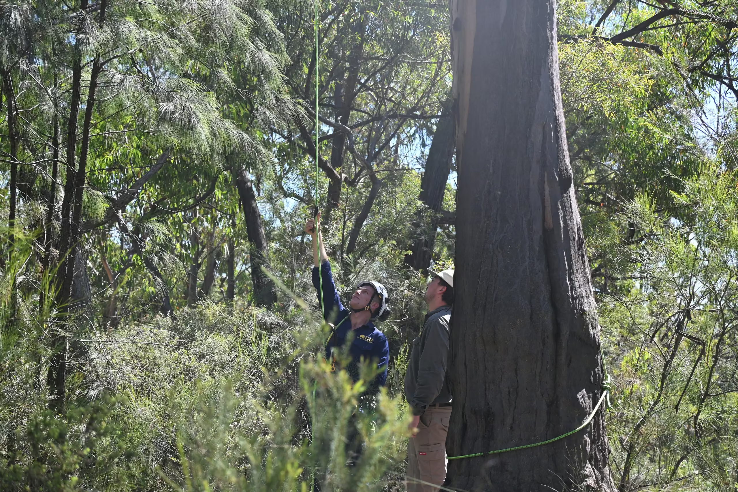
ESEA consultant in hi-vis inspecting tagged trees along a road reserve during an arboricultural impact assessment in NSW

Flora and fauna assessments and biodiversity development assessment reports

Statutory biodiversity assessment for development in NSW, from a preliminary constraints check to a full BDAR under the Biodiversity Assessment Method.
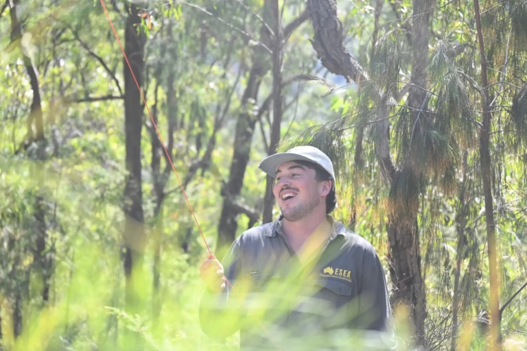
Smiling ESEA ecologist in a cap standing in eucalypt bushland during a flora and fauna survey in NSW

Certification and precinct pathway checks before scoping

A desktop check of certification, precinct controls, and mapping against your lot before a report is scoped.
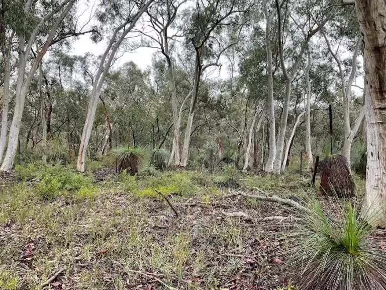
Grassy eucalypt woodland with grass trees on a NSW biodiversity survey site

Vegetation management plans

Practical, council-ready plans for protecting, restoring, and monitoring retained vegetation and rehabilitation areas.
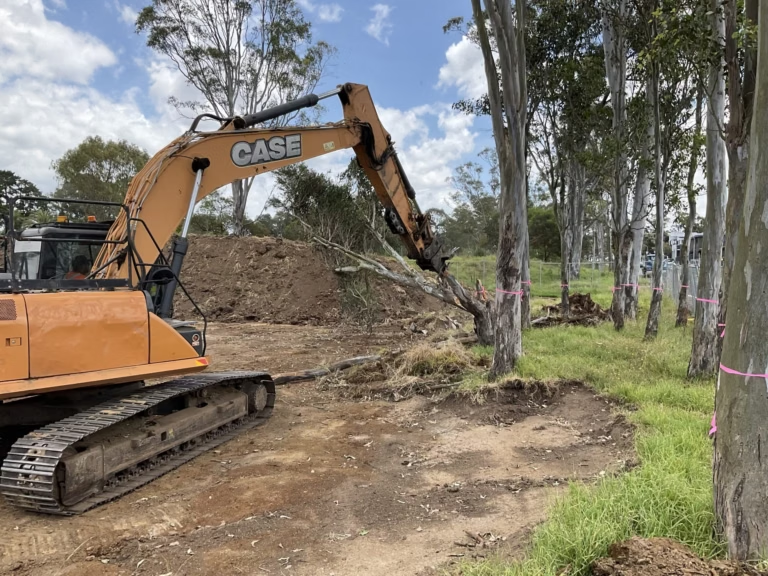
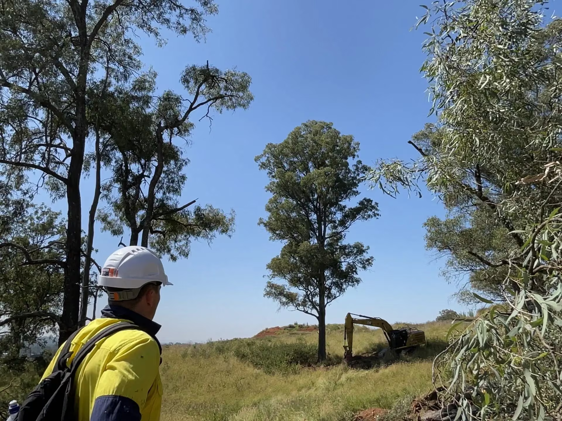
Excavator clearing vegetation beside flagged retained trees under ESEA ecologist supervision in Sydney

Pre-clearing surveys and clearing supervision

Pre-clearing surveys, fauna spotter-catcher attendance, and post-clearing certification.
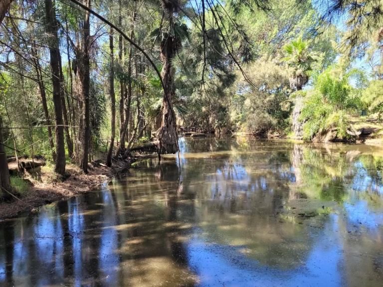
Creek with riparian vegetation and palms on a project ecologist and dam dewatering site in NSW

Controlled Activity Approvals on South Creek and Nepean tributaries

Waterfront land assessment, exemption advice, and application support for controlled activities on waterfront land, generally measured within 40 metres of the highest bank of a river, lake, or estuary.
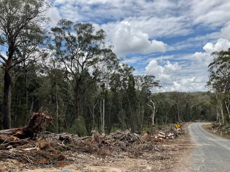
Cleared vegetation stockpiled beside a bushland road on a site mapped by ESEA drone survey in NSW

Arboricultural impact assessments for industrial and residential sites

Tree survey, retention value, Tree Protection Zones, and Structural Root Zones to AS 4970:2025, in your council's required format.
BEFORE YOU START

What we tell clients before they start in Penrith

Establish the precinct and the biodiversity approval framework before investing in detailed design. Whether a site is in the Mamre Road Precinct, the Aerotropolis, the Greater Penrith to Eastern Creek certified area, or ordinary Penrith land changes which documents apply and whether a BDAR is needed at all.

Each Penrith project is managed by a Senior Consultant from commencement through to completion, with Director-level review of every report. We engage before detailed design, when the precinct framework and the woodland can still shape the layout, and we look for practical compliance solutions that support approval while protecting yield or gross floor area, as we did at St Marys. You get responsive communication and clear timelines throughout.

FAQ

Common questions about Penrith

Only if it is certified-urban capable land within the Greater Penrith to Eastern Creek nominated area, which is a mapped question we check lot by lot. Where it applies, a site BDAR is not required but arborist reports, Controlled Activity Approvals, vegetation management, and clearing supervision still are, along with the strategic biodiversity contribution.

The Mamre Road Precinct Development Control Plan 2021 inside the precinct boundary, in place of the Penrith DCP 2014. The Aerotropolis SEPP and DCP apply in the airport precincts.

A small area BDAR for a residential lot generally starts from about $15,000 plus GST, and a flora and fauna assessment for a logistics site from about $8,000, with the presence of Cumberland Plain Woodland and the survey requirements moving the figure.

If any works sit within 40 metres of the highest bank, yes, unless an exemption applies, and South Creek and its tributaries run through most of the growth precincts. ESEA determines the highest bank and stream order on site.

Other areas we serve

Environmental consultants across Western Sydney

Environmental consultants across Western Sydney

ESEA’s environmental consultants are Western Sydney specialists, with extensive experience delivering ecological assessments, environmental approvals, and specialist consulting services across all eight local government areas of the Western Parkland City.
View area
Environmental consultants in The Hills Shire

Environmental consultants in The Hills Shire

ESEA’s environmental consultants are Hills Shire specialists, with extensive experience delivering ecological assessments, environmental approvals, and specialist consulting services across The Hills Shire Council local government area.
View area
partner with us

Start with the site or project

Tell us about your site, project, or research programme, what you are looking to achieve, and the current stage of your project. We will review the available information, identify the likely environmental requirements, and prepare an itemised proposal, typically within two business days for straightforward enquiries.