Environmental consultants in Blacktown
Blacktown, the largest council in Sydney, is where certified land, Cumberland Plain Woodland, and growth-area masterplanning meet.


ESEA’s environmental consultants are Western Sydney specialists, with extensive experience delivering ecological assessments, environmental approvals, and specialist consulting services across all eight local government areas of the Western Parkland City.
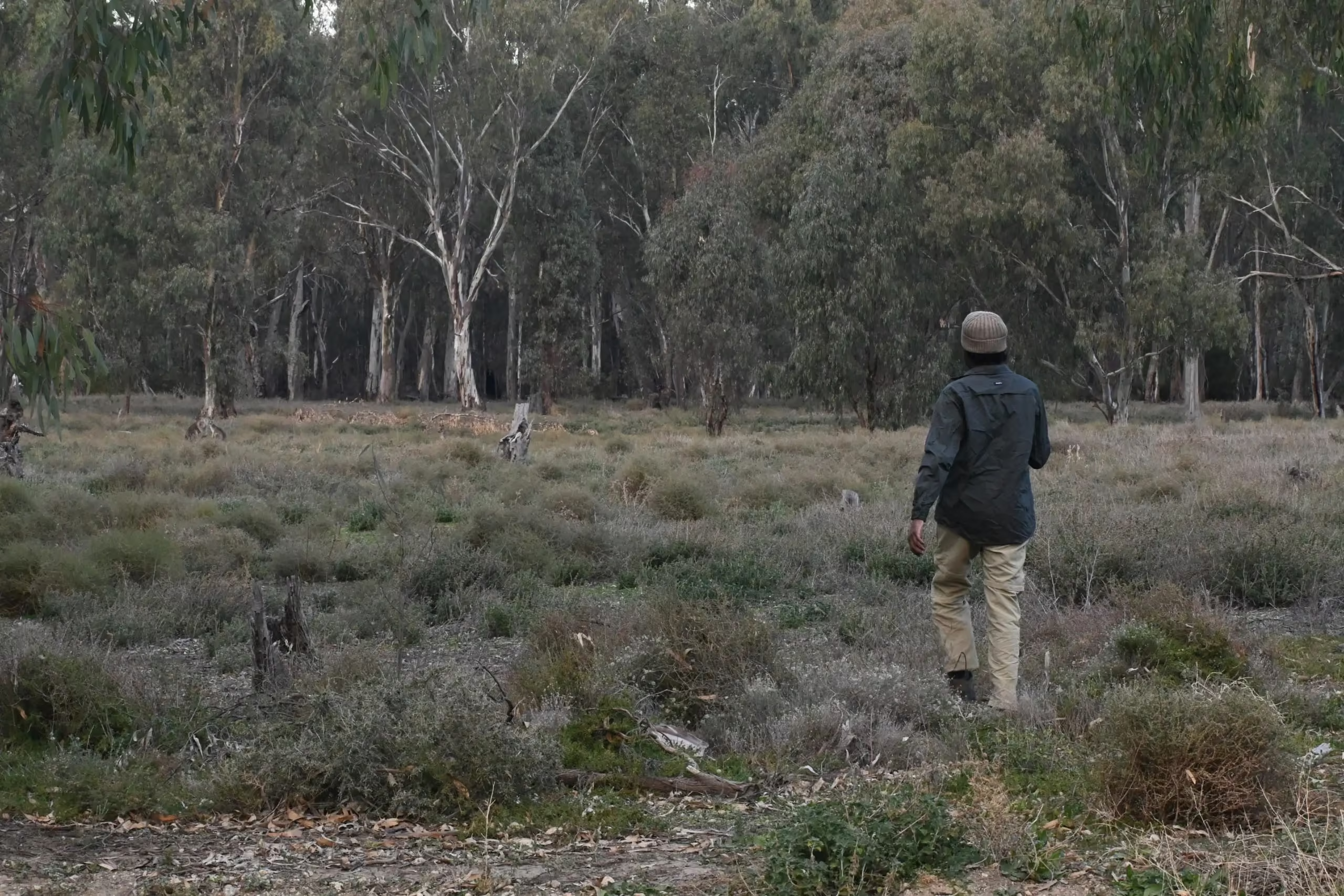
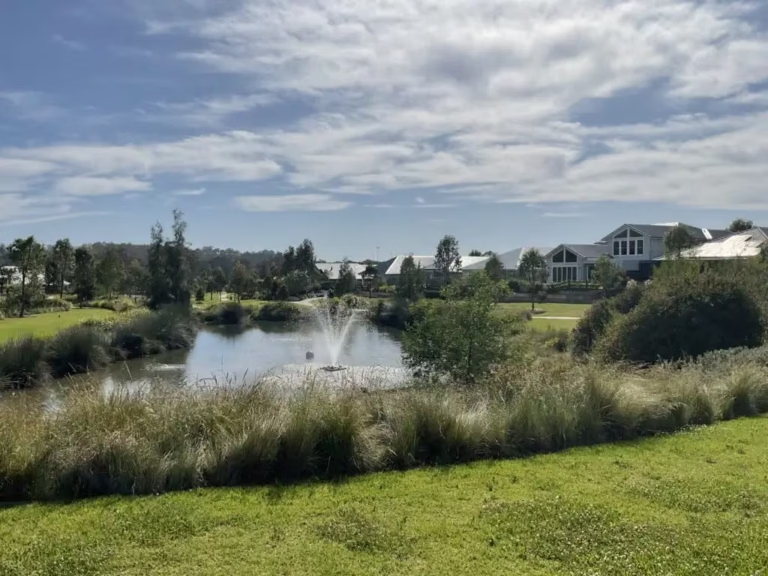
Western Sydney has no single biodiversity assessment pathway. Some land is under ordinary site-level assessment, some carries legacy Growth Centres biodiversity certification, and about 11,164 hectares across the Greater Macarthur, Greater Penrith to Eastern Creek, Western Sydney Aerotropolis, and Wilton is certified under the Cumberland Plain Conservation Plan, which replaces ordinary site BDARs with a strategic approval and a contribution while leaving arborist reports, waterway approvals, vegetation management, and clearing supervision in place. ESEA has extensive experience across all eight Western Parkland City councils.
The Western Parkland City councils, Blacktown, Fairfield, Liverpool, Campbelltown, Camden, Wollondilly, Hawkesbury, and Penrith, plus The Hills, Parramatta, and Cumberland in the wider region
Approved by NSW in August 2022 and the Commonwealth in March 2024, strategic biodiversity component commenced 1 July 2024; 11,164 hectares of certified-urban capable land and transport corridors across four nominated areas; supports up to 73,000 homes; 2,885 hectares of Cumberland Plain Woodland offsets and the 1,830 hectare Georges River Koala Reserve
Own SEPP (2020) and DCP; Aerotropolis Core, Badgerys Creek, Wianamatta-South Creek, Agribusiness, and Northern Gateway precincts; Western Sydney International Airport open for freight from July 2026 and passengers from October 2026
Cumberland Plain Woodland, Shale Sandstone Transition Forest, the Castlereagh woodlands and ironbark forest, koala, Cumberland Plain Land Snail, Green and Golden Bell Frog, Grey-headed Flying-fox
Wianamatta-South Creek, Eastern Creek, Georges River, Nepean and Hawkesbury rivers, Ropes Creek, Kemps Creek
Pyrmont, 30 to 60 kilometres from most of the region
Each council's DCP applies to trees and development in its own area, and the pages for Blacktown, Penrith, Camden, Liverpool, The Hills, and the Hawkesbury set those out. What is specific to Western Sydney as a region is the layering of biodiversity instruments. The Cumberland Plain Conservation Plan is the first strategic biodiversity certification in NSW under the Biodiversity Conservation Act 2016, it certifies particular mapped land for particular development, and it is not a blanket exemption for every property in the region. The older Growth Centres certification is a separate instrument with separate boundaries. Outside both, ordinary Biodiversity Offsets Scheme thresholds and the Biodiversity Values Map apply, and the 2025 amendments to the Act apply everywhere.
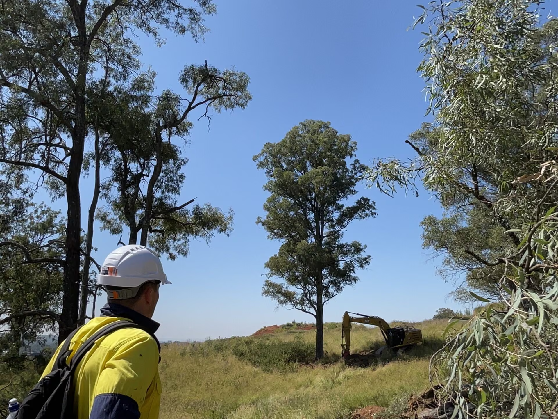
Cumberland Plain Woodland is the constraint the region is named for, critically endangered and priced for offsets by the Biodiversity Conservation Trust using actual trades, which makes avoidance on Cumberland Plain sites more valuable than anywhere else in the state. Other notable constraints include Shale Sandstone Transition Forest, the Castlereagh woodlands, koalas along the Georges River and Nepean, Cumberland Plain Land Snail in woodland leaf litter, and Green and Golden Bell Frog in the wetter industrial lands. Numerous serious and irreversible impact entities are identified across the Cumberland Plain Conservation Plan area.
Wianamatta-South Creek is the spine of the Aerotropolis, and its riparian corridor is a design constraint in its own right, with Eastern Creek, the Georges River, the Nepean and Hawkesbury, Ropes Creek, and Kemps Creek carrying waterfront land, flood corridors, and Controlled Activity Approvals through most precincts.
ESEA has worked on residential subdivision in the North West and South West Growth Areas; industrial and logistics estates along Mamre Road and in the Aerotropolis; subdivision servicing infrastructure at Austral and Schofields; and stormwater and utility works, council peer review, and construction-stage compliance, across Austral and Leppington, Mamre Road and Kemps Creek, Luddenham, Schofields and Riverstone West, Norwest and Rouse Hill, Bringelly, Castlereagh, and North Richmond and Grose Vale.
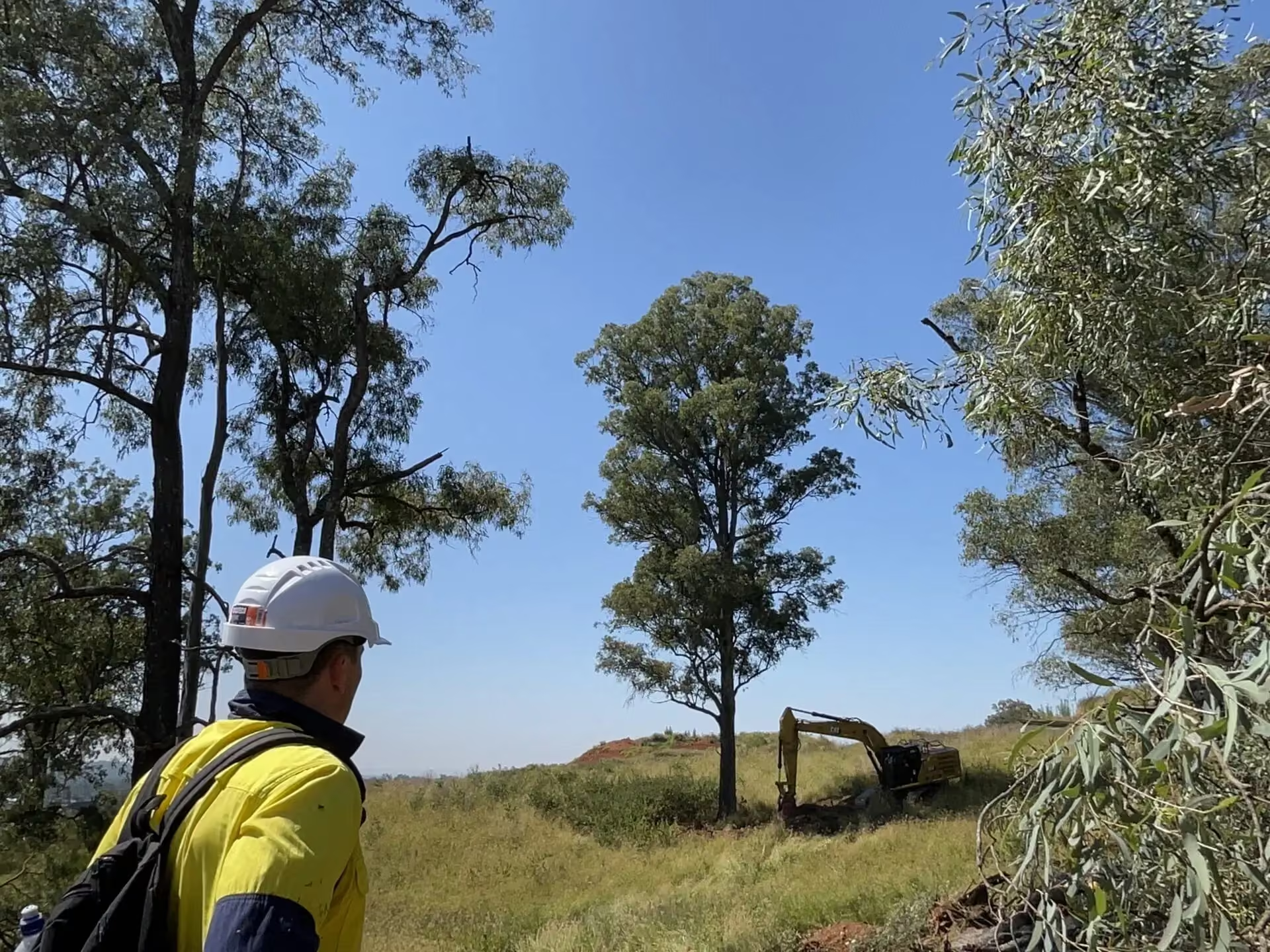
At Schofields in Blacktown, ESEA has carried one approximately 200 lot subdivision from biodiversity assessment and certified-land advice through to vegetation management planning, Land and Environment Court proceedings, pre-clearing ecology, and nest box installation certification.
At the Richards Precinct, Riverstone West, ESEA is project ecologist for an approximately 400 hectare site with Cumberland Plain Woodland, the Eastern Creek corridor, certified and non-certified land, and Biodiversity Values Map areas.
At Kemps Creek, a flora and fauna assessment for a logistics estate on Mamre Road. At Austral, Reviews of Environmental Factors for external water and sewer infrastructure. At Castlereagh, a small area BDAR recording about 0.09 hectares of clearing and one ecosystem credit through avoidance in design. At Bringelly, a preliminary biodiversity assessment on certified growth-area land. At Grose Vale in the Hawkesbury, a riparian assessment and BDAR supporting a residential rezoning on Cumberland Plain Woodland.
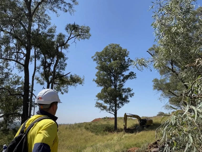
Ecological assessment, management planning and construction-phase support across an approximately 400 hectare development site in Blacktown, carried as one continuing project ecologist commission.
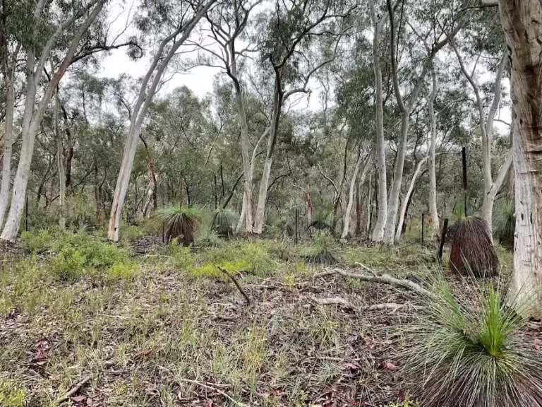
Biodiversity assessments, a Vegetation Management Plan and nest box compensation works for an approximately 200 lot subdivision, successfully defended in the Land and Environment Court without a reduction in yield.
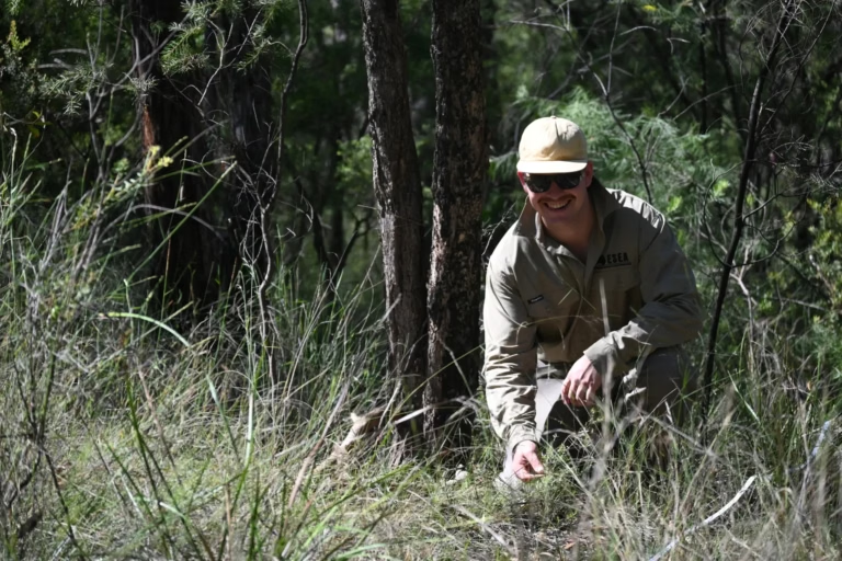
A Review of Environmental Factors for about 428 metres of external potable water infrastructure serving a 31 lot subdivision at Austral, with safeguards tailored to the adjacent riparian corridor and native vegetation.
Wianamatta-South Creek and the Aerotropolis, Western Sydney International Airport at Badgerys Creek, Bradfield, the Mamre Road employment lands, Eastern Creek and the Riverstone West precinct, the Georges River Koala Reserve, and the Nepean and Hawkesbury rivers that bound the region, none of them ESEA client projects unless the project pages say so.
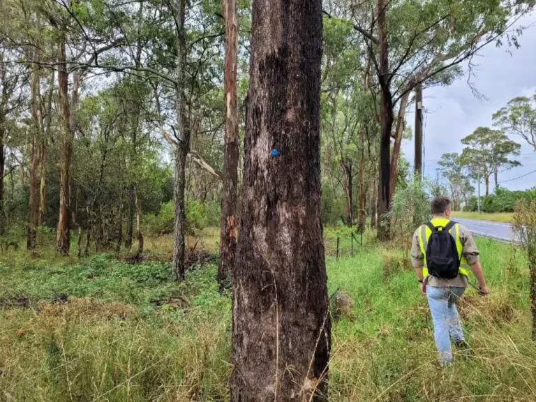
Verify the actual extent and conditions of any strategic biodiversity approval before scoping. A property described as Aerotropolis, Western Sydney, or growth-area land is not thereby covered for every activity, and external infrastructure outside the main lot is the usual gap.
Investigate avoidance while the masterplan is still flexible. Mapping native vegetation, hollow-bearing trees, drainage corridors and the interfaces with roads, basins, and asset protection zones gives the design team evidence to make choices with. On Cumberland Plain Woodland, every hectare avoided is a hectare not offset at the region's least negotiable price.
Across Western Sydney, every project is managed by a Senior Consultant from commencement through to completion, with Director-level review of every report. We engage before the layout is fixed, and we look for practical compliance solutions that support approval while protecting yield, gross floor area, or project success, with responsive communication and clear, realistic timelines on every programme.
It is NSW's first strategic biodiversity certification under the Biodiversity Conservation Act, approved by NSW in 2022 and the Commonwealth in 2024 and operating since 1 July 2024, covering about 11,164 hectares of certified-urban capable land in the Greater Macarthur, Greater Penrith to Eastern Creek, Aerotropolis, and Wilton nominated areas. Whether it covers your site is a question ESEA checks lot by lot.
Arborist reports, Controlled Activity Approvals on waterfront land, vegetation management plans, pre-clearing surveys, and fauna spotter-catchers, and the strategic biodiversity contribution, plus a check that the certification covers external infrastructure as well as the lot.
Because it is the only credit type the Biodiversity Conservation Trust prices with a statistical model built on real trades, so the charge reflects the market rather than a default formula.
Tell us about your site, project, or research programme, what you are looking to achieve, and the current stage of your project. We will review the available information, identify the likely environmental requirements, and prepare an itemised proposal, typically within two business days for straightforward enquiries.