AREAS WE SERVE

Environmental consultants in Mudgee and the Mid-Western Region

Rural land, native vegetation clearing codes, and critically endangered grassy woodlands, in an area of rapid residential growth and expanding industry.

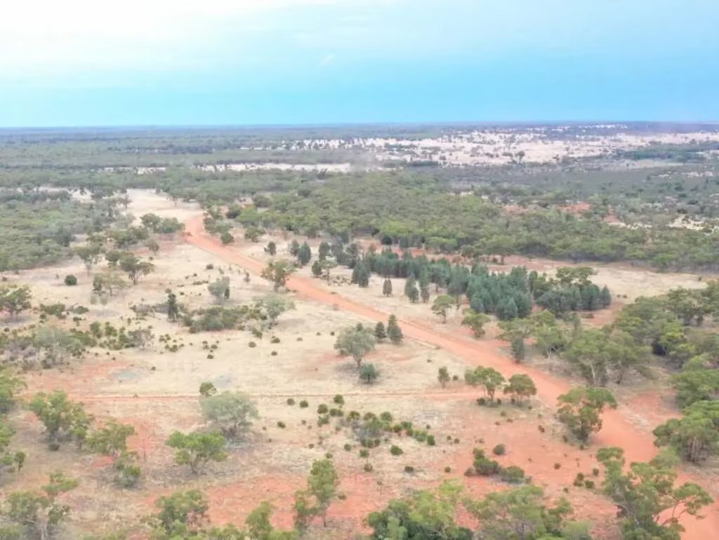
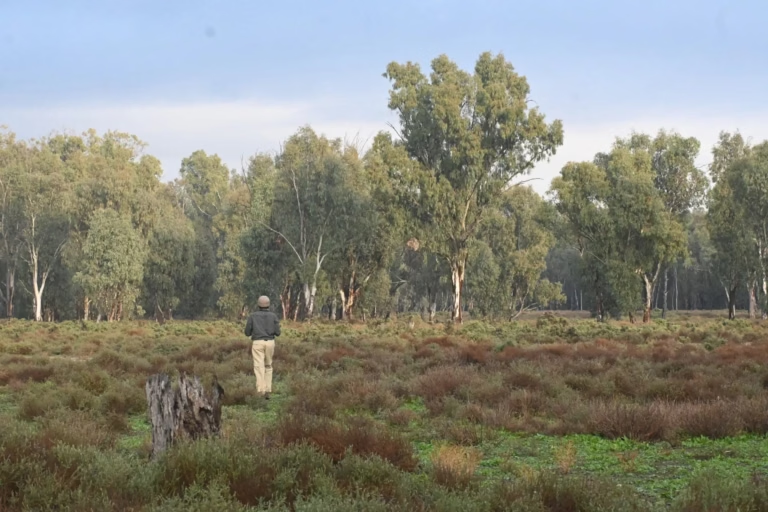
Aerial drone view of cleared farmland with scattered remnant trees in regional NSWESEA ecologist standing in open grassy woodland habitat in regional NSW

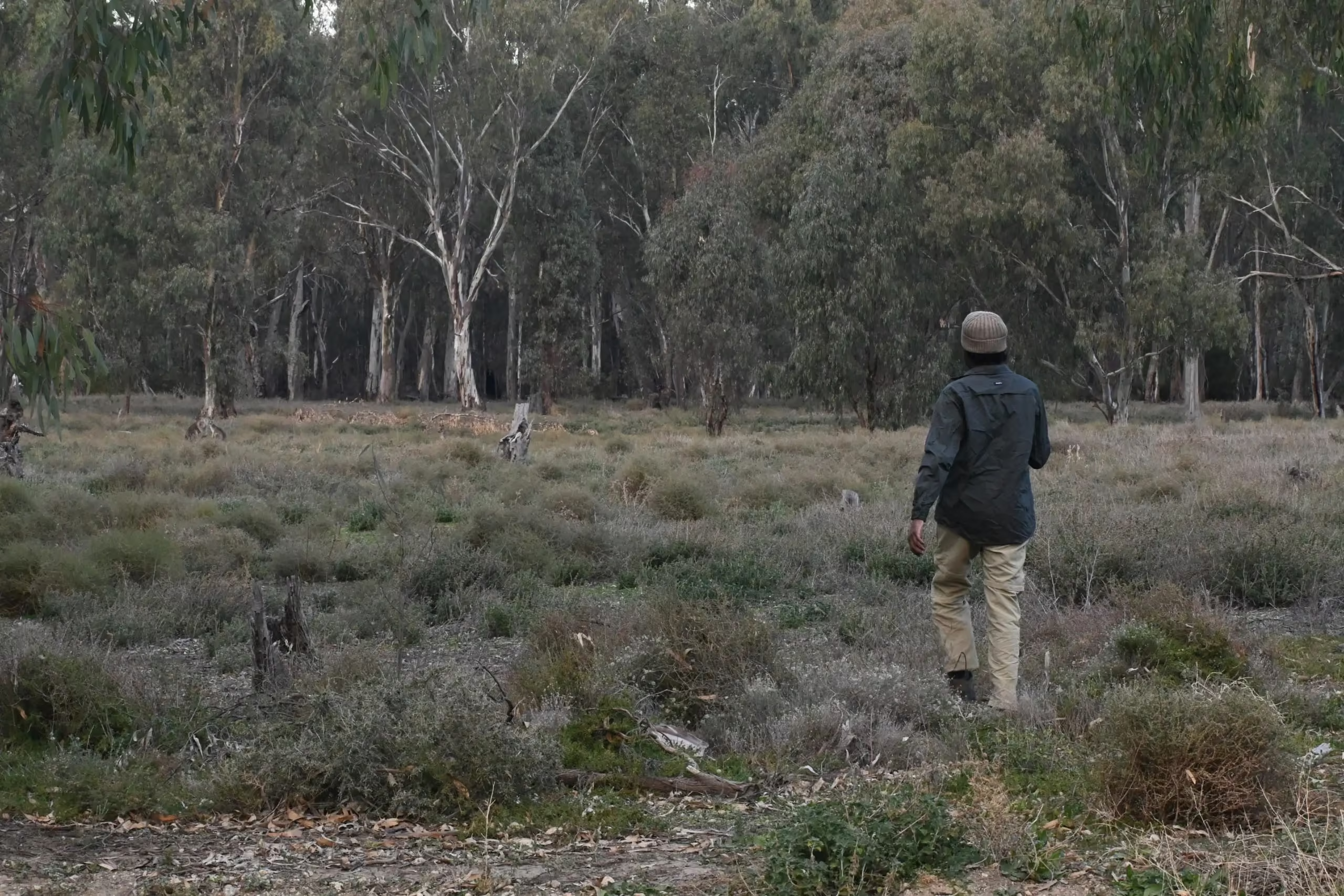
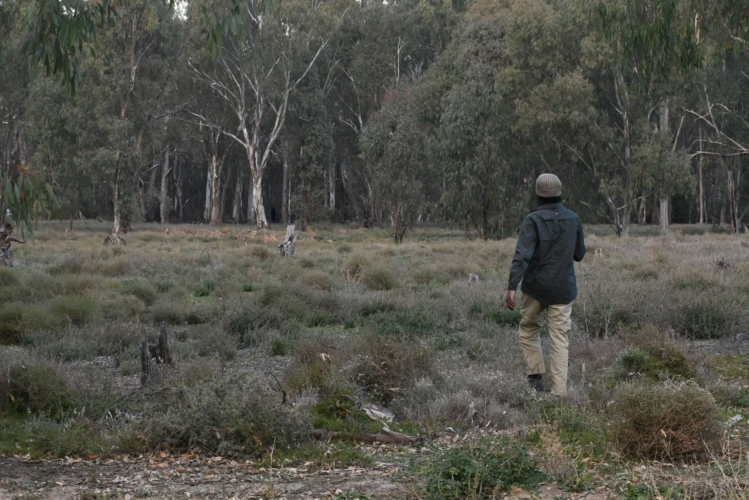
The Mid-Western Region around Mudgee, Gulgong, Rylstone, and Kandos is Box-Gum Grassy Woodland country, and native vegetation on its rural land is governed by the Land Management (Native Vegetation) Code under the Local Land Services Act rather than by an urban tree DCP, while the towns run under the Mid-Western Regional LEP 2012 and DCP 2013.

QUICK FACTS

Quick facts for the Mid-Western Region

02

Vegetation controls

Mid-Western Regional LEP 2012 and DCP 2013 with a tree removal application (form PLA014) and Register of Significant Trees in the towns; the Land Management (Native Vegetation) Code 2018 under the Local Land Services Act on rural regulated land; Biodiversity Values Map and BOS thresholds apply to clearing that is not code-exempt

03

Threatened community

White Box, Yellow Box, Blakely's Red Gum Grassy Woodland and Derived Native Grassland, critically endangered under both the BC Act (2020 determination) and the EPBC Act

04

Species

Regent Honeyeater, Swift Parrot, koala among those flagged in regional assessments

05

Waterways

Cudgegong River through Mudgee and Gulgong, Lawsons Creek, the wider Macquarie catchment

06

Distance from ESEA

About 265 kilometres, roughly three and a half hours, from Pyrmont to Mudgee

COUNCIL RULES

Council rules and assessment pathways in the Mid-Western Region

In the towns, tree removal on private land goes through Council's application process under the LEP and DCP, and Council has its own policy for trees in public places, including a Register of Significant Trees. On rural regulated land the rules are different. Clearing is governed by the Land Management (Native Vegetation) Code 2018 made under Part 5A of the Local Land Services Act and administered by Local Land Services, with allowable activities, code-based clearing, and approvals from the Native Vegetation Panel where the code does not apply. The Biodiversity Values Map and the Biodiversity Offsets Scheme thresholds still apply to clearing that is not exempt under the code, and the first question on a rural site is which pathway the proposed clearing falls under.

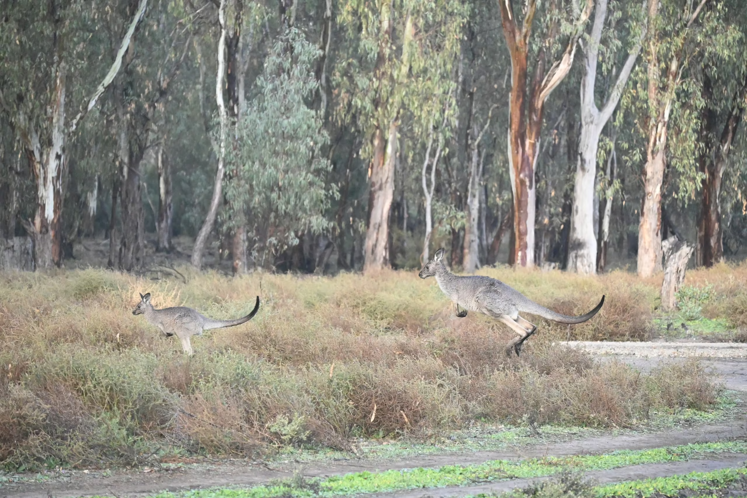
Eastern grey kangaroos crossing grassy woodland during ESEA ecological research in NSW
LOCAL ECOLOGY

Vegetation, species and waterways

Box-Gum Grassy Woodland, formally White Box, Yellow Box, Blakely's Red Gum Grassy Woodland and Derived Native Grassland, is the region's critically endangered community, and its derived native grassland form means an apparently cleared paddock can still be the community. Regent Honeyeater and Swift Parrot are the birds that most often appear in regional assessments, and koalas occur throughout the district.

The Cudgegong River and its tributaries such as Lawsons Creek carry waterfront land into the towns and the surrounding rural land, and first order drainage lines on subdivision sites are often the feature that shapes the layout.

DEVELOPMENT CONTEXT

Where the work is

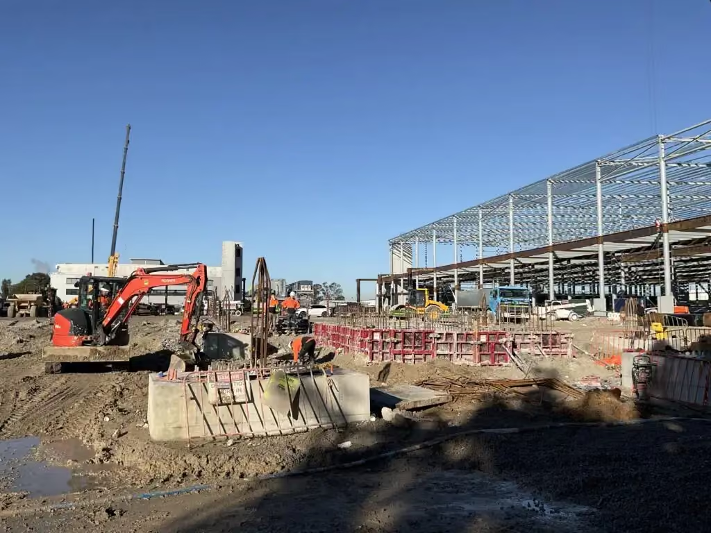
ESEA's verified work here is residential subdivision at Mudgee involving riparian rehabilitation and stormwater infrastructure. The region also hosts large coal mines north of Mudgee and the Central-West Orana Renewable Energy Zone centred toward Dubbo and Dunedoo, which generate biodiversity assessment demand at scale.

Services most requested in the Mid-Western Region

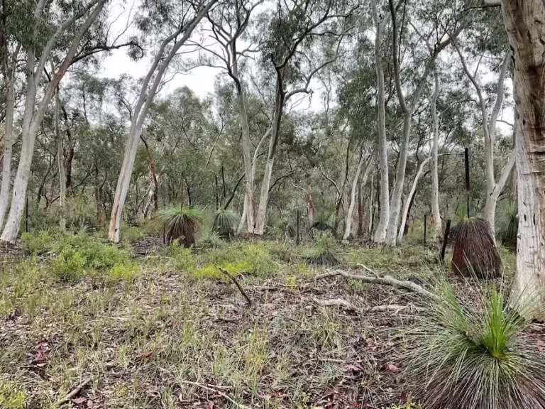
Grassy eucalypt woodland with grass trees on a NSW biodiversity survey site

Riparian and vegetation management plans

Practical, council-ready plans for protecting, restoring, and monitoring retained vegetation and rehabilitation areas.
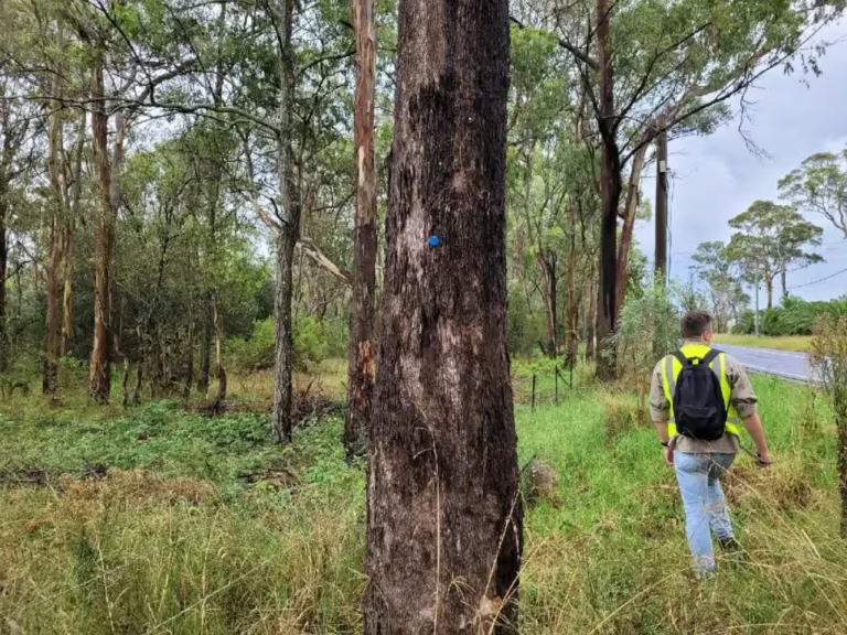
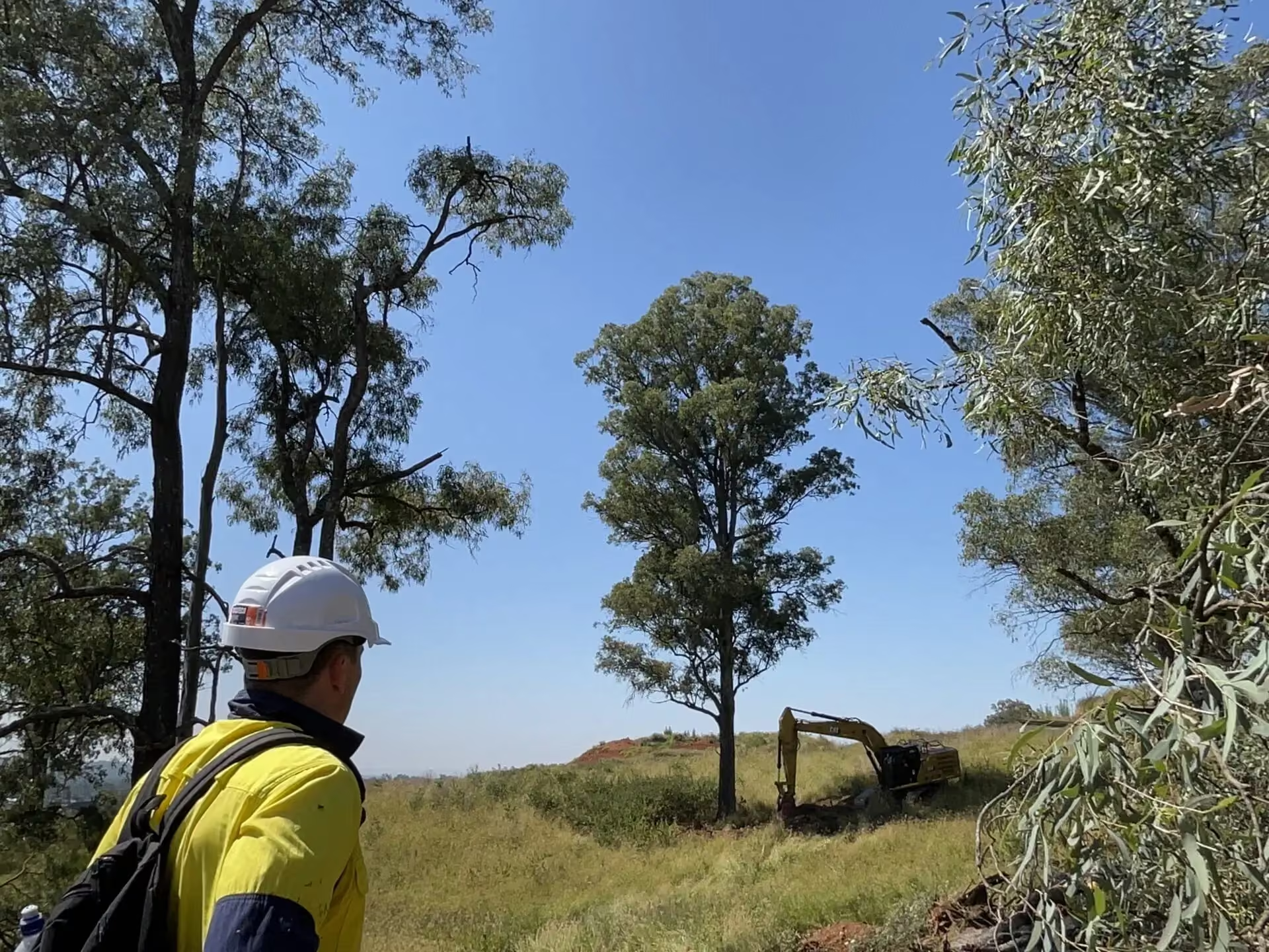
ESEA consultant in hi-vis inspecting tagged trees along a road reserve during an arboricultural impact assessment in NSW

Rural native vegetation pathway advice under the Land Management Code

Advice on which clearing pathway applies on rural land: the Land Management Code, the Native Vegetation Panel, or council.
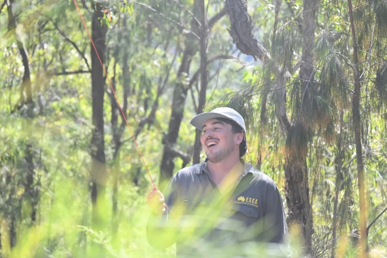
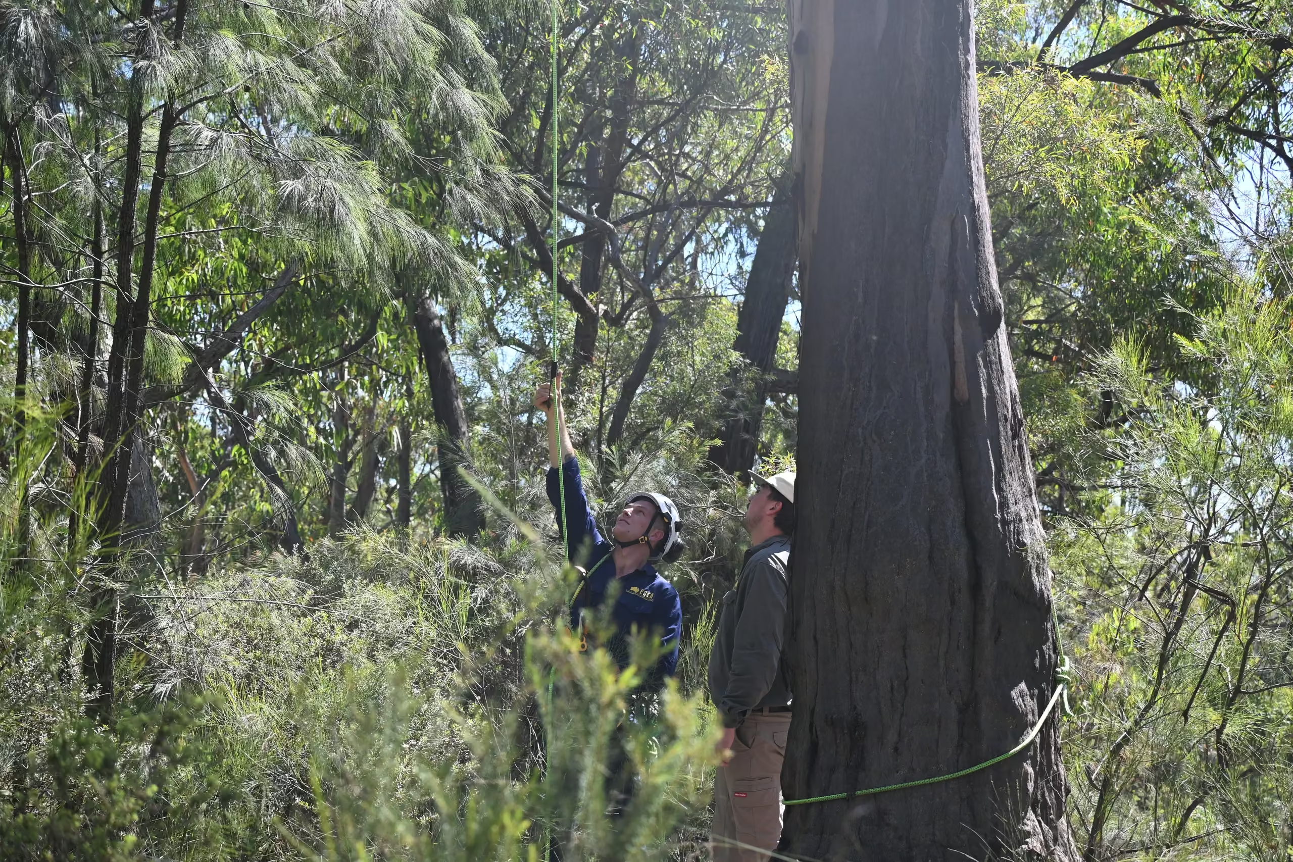
Smiling ESEA ecologist in a cap standing in eucalypt bushland during a flora and fauna survey in NSW

Biodiversity assessments and BDARs for subdivision and infrastructure

Statutory biodiversity assessment for development in NSW, from a preliminary constraints check to a full BDAR under the Biodiversity Assessment Method.
Pair of Gang-gang Cockatoos at a tree hollow, a threatened species recorded during an ESEA fauna survey in NSW

Targeted species surveys for woodland birds and koalas

Management plans for koalas and other threatened fauna, with survey, exclusion, and supervision measures for works.
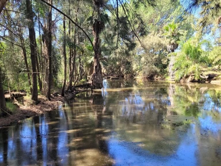
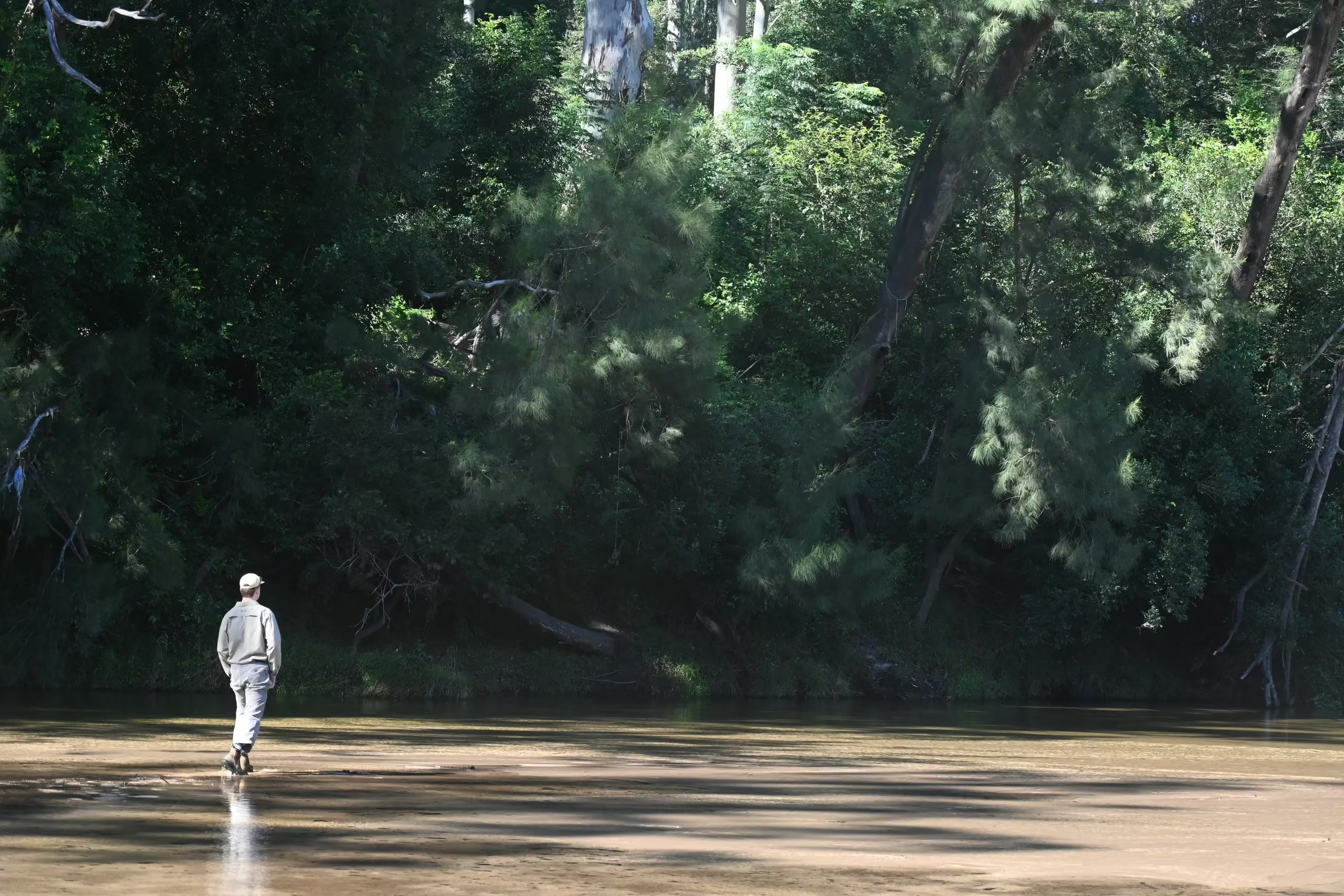
Creek with riparian vegetation and palms on a project ecologist and dam dewatering site in NSW

Controlled Activity Approvals on the Cudgegong and its tributaries

Waterfront land assessment, exemption advice, and application support for controlled activities on waterfront land, generally measured within 40 metres of the highest bank of a river, lake, or estuary.
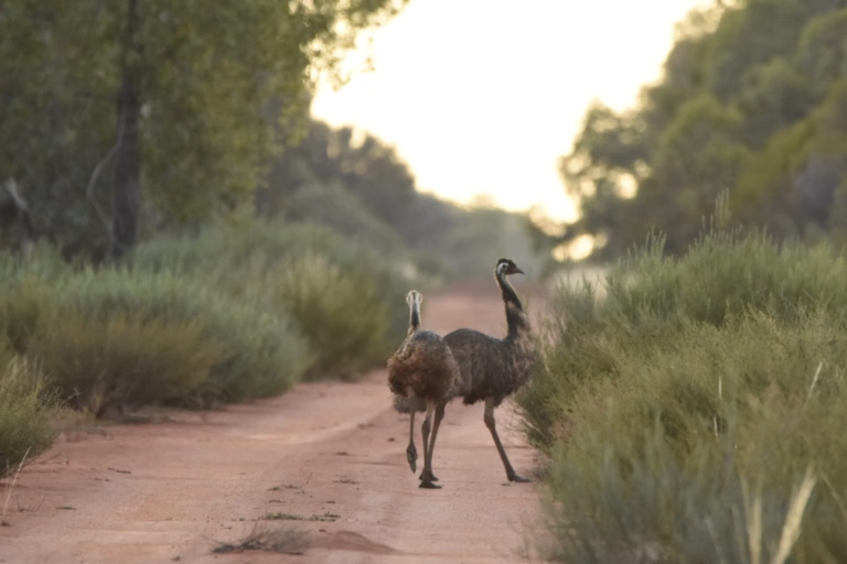
Two emus walking along a dirt track at dusk, recorded during ESEA ecological research in NSW

Ecological monitoring for restoration sites

Designed studies, baseline surveys, and long-term monitoring for councils, agencies, and research and education organisations.
BEFORE YOU START

What we tell clients before they start in the Mid-Western Region

Do not treat grazed or cleared land as free of constraints. Derived native grassland is part of the Box-Gum community, remnant paddock trees carry habitat, and a drainage line can be waterfront land.

Bring ecology and civil design together on regional subdivisions. Channel form, erosion control, access, fencing, and vegetation establishment must work together for development approval to be granted.

Regional work rewards planning, so we engage early, scope the site visits to make each trip count, and set a clear timeline before mobilising. Each project is managed by a Senior Consultant from commencement through to completion, with Director-level review of every report, and we look for practical compliance solutions that support approval and keep the development viable, with responsive communication whether we are on site or in the office.


FAQ

Common questions about the Mid-Western Region

Yes, where the scope justifies it, which for a subdivision, an infrastructure project, or a multi-visit monitoring programme it usually does. Travel time, vehicle costs, and accommodation are itemised in the proposal so there are no surprises, and repeat visits are planned into the programme.

It can be. Derived native grassland is part of the critically endangered Box-Gum Grassy Woodland community, and its presence is a field question, not a desktop one.

It depends on the land category and the clearing. Code-based clearing on rural regulated land runs through Local Land Services, clearing that is not code-exempt or that exceeds the offsets threshold runs through the Native Vegetation Panel and the Biodiversity Assessment Method, and development in the towns runs through Council. ESEA identifies the pathway before scoping the report.

A vegetation management plan generally falls between about $8,000 and $10,000 plus GST, with the number of management zones, planting design, and monitoring requirements moving the figure, plus regional travel itemised separately.

Other areas we serve

Environmental consultants across Western Sydney

Environmental consultants across Western Sydney

ESEA’s environmental consultants are Western Sydney specialists, with extensive experience delivering ecological assessments, environmental approvals, and specialist consulting services across all eight local government areas of the Western Parkland City.
View area
Environmental consultants in The Hills Shire

Environmental consultants in The Hills Shire

ESEA’s environmental consultants are Hills Shire specialists, with extensive experience delivering ecological assessments, environmental approvals, and specialist consulting services across The Hills Shire Council local government area.
View area
partner with us

Start with the site or project

Tell us about your site, project, or research programme, what you are looking to achieve, and the current stage of your project. We will review the available information, identify the likely environmental requirements, and prepare an itemised proposal, typically within two business days for straightforward enquiries.